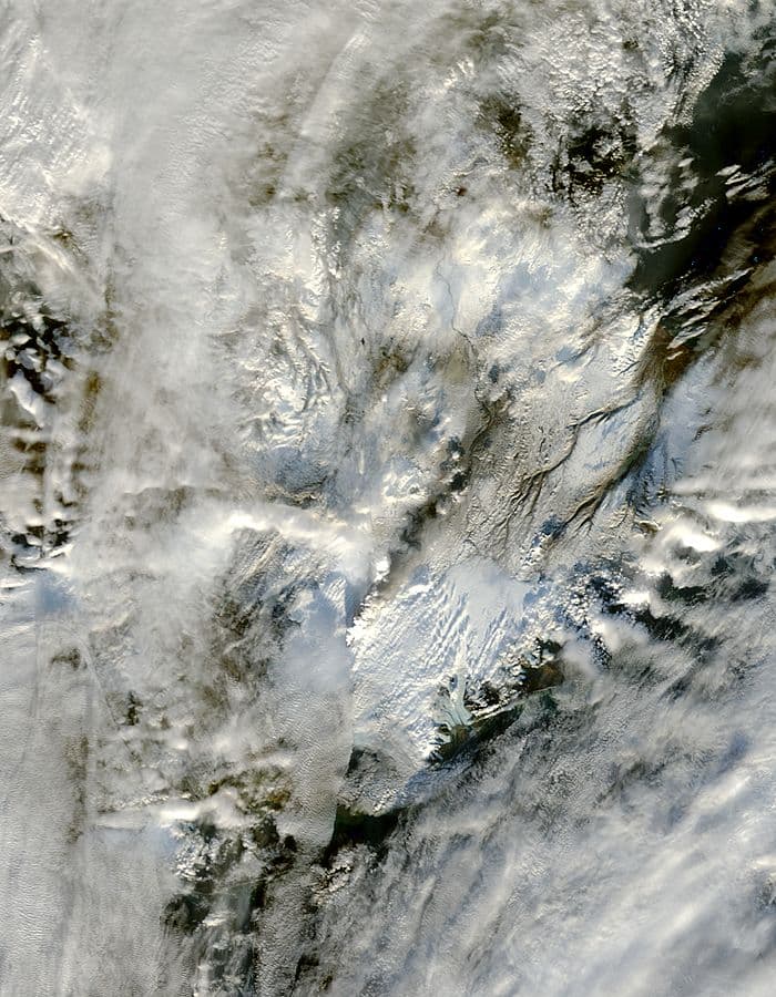
About Grimsvotn
Grimsvotn is a caldera rising to 1,719 meters (5,640 feet) in Iceland's Atlantic Ocean Volcanic Regions. It has been active in recent decades, with its last eruption in 2011 CE. The volcano has produced 85 recorded eruptions, with a maximum Volcanic Explosivity Index (VEI) of 6.
Geography & Climate
Grimsvotn is located in Iceland, within the Iceland Neovolcanic Rift Volcanic Province of the broader Atlantic Ocean Volcanic Regions. Situated at 64.42° N, 17.32° W in the Northern Hemisphere, the volcano lies within a subarctic climate zone. With a summit elevation of 1,719 meters above sea level, Grimsvotn is a moderately sized peak that remains accessible to hikers and researchers for much of the year. The volcanic landform is characterized as a caldera, which describes the physical shape and structure of the volcanic edifice as observed from the surface.
Geological Context
Grimsvotn is situated along a rift zone, where tectonic plates are pulling apart. As the crust thins and fractures, magma rises to fill the gap, creating volcanic activity. Rift volcanism typically produces more fluid lava flows rather than explosive blasts, which means communities near Grimsvotn in Iceland generally face slower-moving hazards like lava flows and ground fissures rather than sudden pyroclastic events. However, rift volcanoes can still generate significant ash emissions and gas releases that affect local air quality. The dominant rock type is basalt / picro-basalt, a dark, fine-grained volcanic rock that forms from rapidly cooling, low-viscosity lava. Basaltic eruptions tend to be less explosive and produce fluid lava flows that can travel long distances. While less immediately dangerous than explosive eruptions, basaltic lava flows can destroy structures and infrastructure in their path, and volcanic gases released during these eruptions can affect air quality over a wide area.
Eruption History Summary
Grimsvotn has 85 recorded eruptions in the geological database, spanning from 8230 BCE to 2011 CE. The most powerful recorded event was a colossal eruption capable of affecting global climate for years in 8230 BCE, reaching VEI 6 on the Volcanic Explosivity Index. Notable eruptions include 2011 CE (VEI 4), 2004 CE (VEI 3), 1998 CE (VEI 3). With an average interval of roughly 120 years between eruptions over a span of 10,241 years, this is one of the more frequently active volcanoes in the database. This persistent activity suggests a robust and well-supplied magma system beneath the volcano. With eruptive activity as recently as 2011 CE, Grimsvotn remains an actively monitored volcano.
Significance
Grimsvotn has produced at least one eruption of VEI 6 or higher, placing it among the most powerful volcanic systems on Earth. Eruptions of this magnitude inject massive quantities of sulfur dioxide into the stratosphere, affecting global climate by lowering average temperatures for one to three years after the event. Its 85 recorded eruptions make it one of the most prolific volcanoes in the entire global volcanic record, reflecting an exceptionally persistent magma supply system that has sustained near-continuous eruptive activity over millennia. Given its recent activity, Grimsvotn is closely monitored by geological survey organizations to provide early warning of future unrest.
GVP Reference Summary
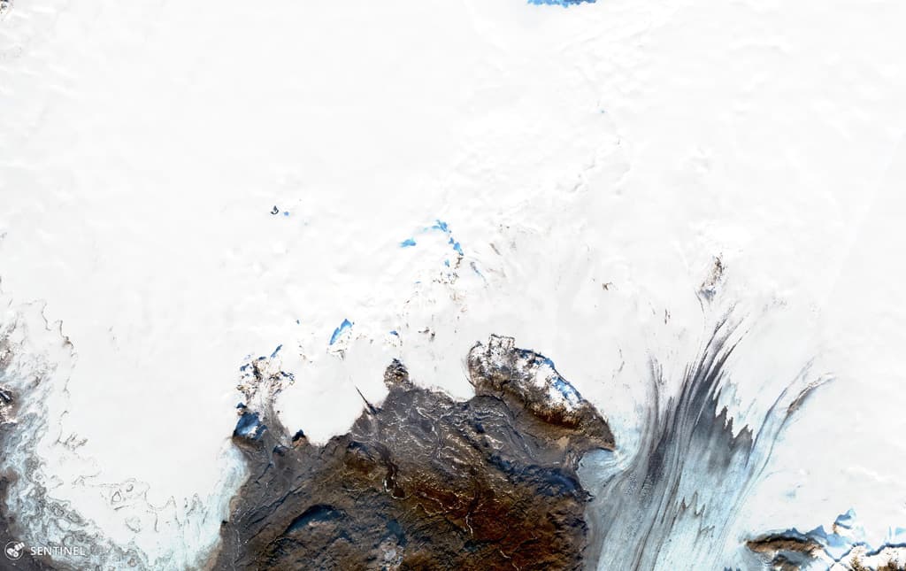
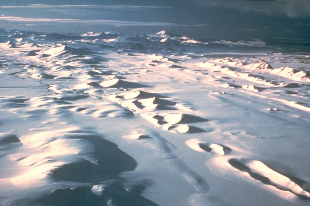
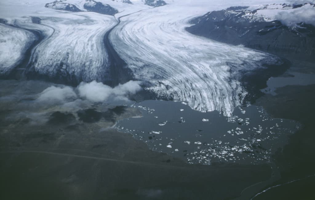
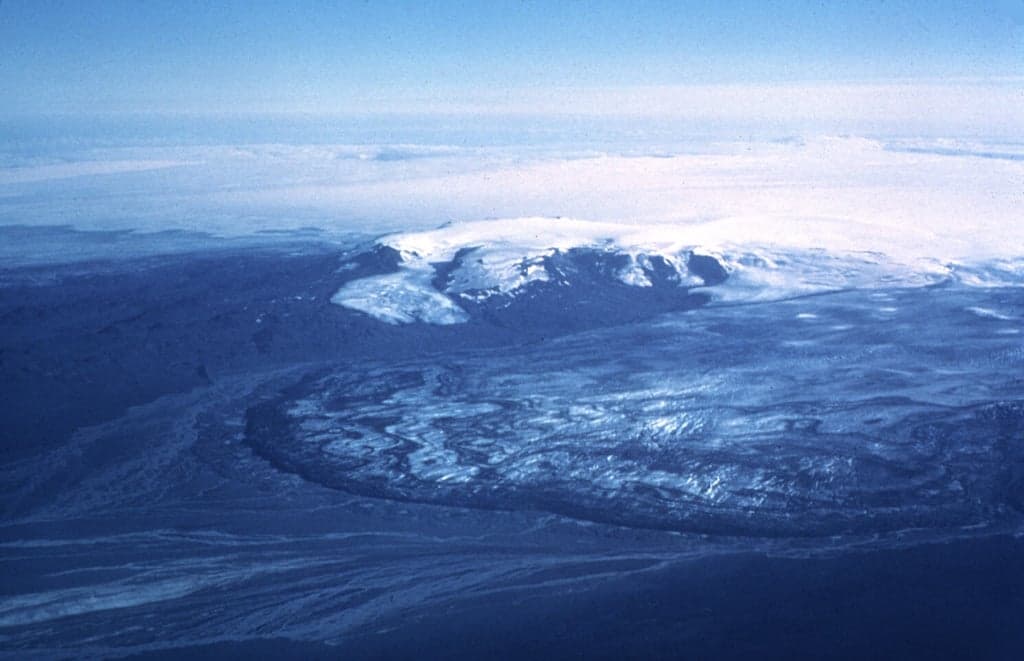
Grímsvötn, Iceland's most frequently active volcano in recent history, lies largely beneath the vast Vatnajökull icecap. The caldera lake is covered by a 200-m-thick ice shelf, and only the southern rim of the 6 x 8 km caldera is exposed. The geothermal area in the caldera causes frequent jökulhlaups (glacier outburst floods) when melting raises the water level high enough to lift its ice dam. Long NE-SW-trending fissure systems extend from the central volcano. The most prominent of these is the noted Laki (Skaftar) fissure, which extends to the SW and produced the world's largest known historical lava flow in 1783. The 15 km3 basaltic Laki lavas were erupted over 7 months from a 27-km-long fissure system. Extensive crop damage and livestock losses caused a severe famine that resulted in the loss of one-fifth of the population of Iceland.
— Smithsonian Institution, Global Volcanism Program
85 Recorded Eruptions
How Grimsvotn's 48 size-rated eruptions break down by Volcanic Explosivity Index. Select a bar to see what that size means.
Explosive — ash plumes reaching 1–5 km, localized impact.
Of Grimsvotn's 48 size-rated eruptions on record, the most common was VEI 2 (27 of 48, 56%). Its record is centred on moderate explosive eruptions (VEI 2–3), with larger events far rarer. The largest on record reached VEI 6.
Based on the Smithsonian GVP eruption record. This describes Grimsvotn's past eruptions only — it does not predict future activity. What is the VEI? · Most explosive volcanoes
| Year | VEI | Type | Area |
|---|---|---|---|
| 2011 | 4 | Confirmed Eruption | SW part of the caldera |
| 2004 | 3 | Confirmed Eruption | SW and east sides of caldera |
| 1998 | 3 | Confirmed Eruption | South caldera wall |
| 1996 | 3 | Confirmed Eruption | Gjálp (fissure N of caldera rim) |
| 1984 | 0 | Uncertain Eruption | — |
| 1983 | 2 | Confirmed Eruption | Near south caldera wall |
| 1972 | 0 | Uncertain Eruption | — |
| 1954 | 1 | Confirmed Eruption | — |
| 1954 | 1 | Uncertain Eruption | North and south part of caldera |
| 1948 | 0 | Uncertain Eruption | — |
| 1945 | 1 | Uncertain Eruption | — |
| 1941 | 0 | Uncertain Eruption | — |
| 1939 | 0 | Uncertain Eruption | — |
| 1938 | 1 | Confirmed Eruption | 8 km N of Svartibunki |
| 1934 | 2 | Confirmed Eruption | Near south caldera wall |
| 1934 | — | Confirmed Eruption | Volcano Uncertain: Vatnajökull |
| 1933 | 1 | Confirmed Eruption | North of Grímsvötn caldera |
| 1922 | 2 | Confirmed Eruption | — |
| 1919 | 2 | Confirmed Eruption | Volcano Uncertain |
| 1910 | — | Confirmed Eruption | — |
| 1897 | 2 | Confirmed Eruption | Volcano Uncertain |
| 1891 – 1892 | 2 | Confirmed Eruption | — |
| 1883 | 2 | Confirmed Eruption | — |
| 1873 | 4 | Confirmed Eruption | — |
| 1867 | 1 | Confirmed Eruption | — |
| 1861 | 2 | Uncertain Eruption | — |
| 1854 | 2 | Confirmed Eruption | — |
| 1838 | 2 | Confirmed Eruption | — |
| 1816 | 2 | Confirmed Eruption | — |
| 1794 | — | Uncertain Eruption | — |
| 1783 – 1785 | 4 | Confirmed Eruption | Lakagigar (Skaftar) and Grímsvötn |
| 1774 | 2 | Confirmed Eruption | — |
| 1768 | 2 | Confirmed Eruption | Volcano Uncertain: Vatnajökull |
| 1753 | 2 | Confirmed Eruption | NE of Palsfjall |
| 1730 | — | Confirmed Eruption | — |
| 1725 | 2 | Confirmed Eruption | — |
| 1716 | 2 | Confirmed Eruption | — |
| 1706 | 2 | Confirmed Eruption | — |
| 1697 | — | Confirmed Eruption | — |
| 1684 – 1685 | 2 | Confirmed Eruption | — |
| 1681 | — | Confirmed Eruption | Volcano Uncertain: Vatnajökull |
| 1665 | — | Confirmed Eruption | — |
| 1659 | 2 | Confirmed Eruption | — |
| 1638 | 2 | Confirmed Eruption | — |
| 1632 | — | Confirmed Eruption | — |
| 1629 | 2 | Confirmed Eruption | — |
| 1622 | — | Confirmed Eruption | — |
| 1619 | 2 | Confirmed Eruption | — |
| 1610 | — | Confirmed Eruption | — |
| 1603 | 2 | Confirmed Eruption | Volcano Uncertain: Vatnajökull; possibly Grímsvötn |
| 1598 | 3 | Confirmed Eruption | — |
| 1530 | — | Confirmed Eruption | — |
| 1521 | — | Confirmed Eruption | — |
| 1510 | — | Confirmed Eruption | — |
| 1509 | — | Confirmed Eruption | — |
| 1500 | — | Confirmed Eruption | — |
| 1490 | — | Confirmed Eruption | — |
| 1471 | — | Confirmed Eruption | — |
| 1470 | — | Confirmed Eruption | — |
| 1469 | — | Confirmed Eruption | — |
| 1450 | — | Confirmed Eruption | — |
| 1430 | — | Confirmed Eruption | — |
| 1390 | — | Confirmed Eruption | — |
| 1370 | — | Confirmed Eruption | — |
| 1369 | — | Confirmed Eruption | — |
| 1354 | — | Confirmed Eruption | — |
| 1350 | — | Confirmed Eruption | — |
| 1341 | 2 | Confirmed Eruption | — |
| 1332 | 2 | Confirmed Eruption | — |
| 1310 | — | Confirmed Eruption | — |
| 1290 | — | Confirmed Eruption | — |
| 1270 | — | Confirmed Eruption | — |
| 1230 | — | Confirmed Eruption | — |
| 1190 | — | Confirmed Eruption | — |
| 1150 | — | Confirmed Eruption | — |
| 1090 | — | Confirmed Eruption | — |
| 1060 | — | Confirmed Eruption | — |
| 1010 | — | Confirmed Eruption | — |
| 960 | — | Confirmed Eruption | — |
| 910 | — | Confirmed Eruption | — |
| 50 BCE | 2 | Confirmed Eruption | Halsagigur |
| 1950 BCE | 2 | Confirmed Eruption | Raudholar and Brunuholar |
| 3550 BCE | 0 | Confirmed Eruption | S of Thordarhyrna (Bergvatnsarhraun) |
| 4550 BCE | 0 | Confirmed Eruption | Laki (Botnahraun) |
| 8230 BCE | 6 | Confirmed Eruption | — |
Real-Time Data
Frequently Asked Questions About Grimsvotn
Is Grimsvotn an active volcano?+
Yes, Grimsvotn is considered an active volcano. Its most recent eruption was in 2011 CE. The volcano is monitored by geological agencies, and its activity status is based on observed eruptions within recorded history.
When did Grimsvotn last erupt?+
The most recent recorded eruption of Grimsvotn occurred in 2011 CE with a Volcanic Explosivity Index (VEI) of 4. The eruption was classified as a "Confirmed Eruption." Grimsvotn has 85 recorded eruptions in total.
How high is Grimsvotn?+
Grimsvotn has a summit elevation of 1,719 meters (5,640 feet) above sea level. At 1,719 meters, it is a moderately sized volcanic peak, roughly comparable to Mount Vesuvius (1,281m).
What type of volcano is Grimsvotn?+
Grimsvotn is classified as a Caldera. Calderas are large volcanic depressions formed when a volcano erupts so powerfully that its magma chamber collapses, creating a basin that can be kilometers wide. They are often sites of some of Earth's largest eruptions.
Where is Grimsvotn located?+
Grimsvotn is located in Iceland, in the Atlantic Ocean Volcanic Regions. More specifically, it lies within the Iceland Neovolcanic Rift Volcanic Province. Its exact coordinates are 64.416° latitude, -17.316° longitude.
Is it safe to visit Grimsvotn?+
Visiting Grimsvotn requires checking current volcanic activity and alert levels. As an active volcano with eruptions as recent as 2011 CE, conditions can change rapidly. Always consult local geological authorities and follow official warnings before visiting. Many active volcanoes have designated safe viewing areas and guided tour options.