About Basile, Pico
Basile, Pico is a shield rising to 2,999 meters (9,840 feet) in Equatorial Guinea's Northern Africa Volcanic Regions. It last erupted in 1923 CE, and volcanologists consider it an active volcanic system. The volcano has produced 3 recorded eruptions.
Geography & Climate
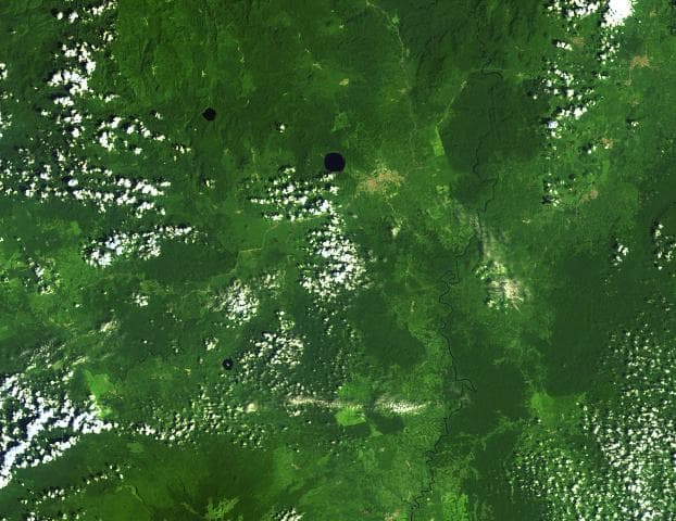
Basile, Pico is located in Equatorial Guinea, within the Western Africa Volcanic Province of the broader Northern Africa Volcanic Regions. Situated at 3.59° N, 8.76° E in the Northern Hemisphere, the volcano lies within a tropical climate zone. At 2,999 meters above sea level, Basile, Pico rises above the surrounding terrain into montane or subalpine conditions. The elevation creates distinct ecological zones along its flanks, from forested lower slopes to exposed rocky terrain near the summit. The volcanic landform is characterized as a shield, which describes the physical shape and structure of the volcanic edifice as observed from the surface.
Geological Context
Basile, Pico is an intraplate volcano, meaning it formed away from any plate boundary. These volcanoes are often powered by hotspots — plumes of abnormally hot mantle material rising from deep within the Earth. Hotspot volcanoes like Basile, Pico tend to produce effusive eruptions with lava flows that can be relatively predictable, giving nearby communities in Equatorial Guinea more time to prepare. However, they can also produce explosive phases, particularly when magma interacts with groundwater. The dominant rock type is basalt / picro-basalt, a dark, fine-grained volcanic rock that forms from rapidly cooling, low-viscosity lava. Basaltic eruptions tend to be less explosive and produce fluid lava flows that can travel long distances. While less immediately dangerous than explosive eruptions, basaltic lava flows can destroy structures and infrastructure in their path, and volcanic gases released during these eruptions can affect air quality over a wide area.
Eruption History Summary
Basile, Pico has 3 recorded eruptions in the geological database, spanning from 1898 CE to 1923 CE. These eruptions span roughly 25 years of volcanic history. The most recent eruption in 1923 CE places this volcano within the modern era of volcanological observation.
GVP Reference Summary
Pico Basilé is the largest and highest of three basaltic shield volcanoes forming Bioko Island. Lying on the continental shelf along the Cameroon Line, this volcano is modified by the same NNE faults as Mt. Cameroon across the Gulf of Guinea on the mainland. It contains numerous satellitic cinder cones and is the only Bioko Island volcano with recorded eruptions, although they are poorly documented. Three eruptions, during the late-19th and early-20th centuries, have been reported from SE flank vents.
— Smithsonian Institution, Global Volcanism Program
3 Recorded Eruptions
| Year | VEI | Type | Area |
|---|---|---|---|
| 1923 | — | Confirmed Eruption | SE flank |
| 1903 | — | Confirmed Eruption | SE flank, near Bahu |
| 1898 | — | Confirmed Eruption | SE flank |
Real-Time Data
Frequently Asked Questions About Basile, Pico
Is Basile, Pico an active volcano?+
Yes, Basile, Pico is considered an active volcano. Its most recent eruption was in 1923 CE. The volcano is monitored by geological agencies, and its activity status is based on observed eruptions within recorded history.
When did Basile, Pico last erupt?+
The most recent recorded eruption of Basile, Pico occurred in 1923 CE. The eruption was classified as a "Confirmed Eruption." Basile, Pico has 3 recorded eruptions in total.
How high is Basile, Pico?+
Basile, Pico has a summit elevation of 2,999 meters (9,840 feet) above sea level. At 2,999 meters, it is comparable in height to many significant mountain peaks and stands well above the tree line.
What type of volcano is Basile, Pico?+
Basile, Pico is classified as a Shield. Shield volcanoes have distinct geological characteristics that set them apart from other volcanic types.
Where is Basile, Pico located?+
Basile, Pico is located in Equatorial Guinea, in the Northern Africa Volcanic Regions. More specifically, it lies within the Western Africa Volcanic Province. Its exact coordinates are 3.588° latitude, 8.762° longitude.
Is it safe to visit Basile, Pico?+
Visiting Basile, Pico requires checking current volcanic activity and alert levels. As an active volcano with eruptions as recent as 1923 CE, conditions can change rapidly. Always consult local geological authorities and follow official warnings before visiting. Many active volcanoes have designated safe viewing areas and guided tour options.