About Manengouba
Manengouba is a stratovolcano rising to 2,411 meters (7,910 feet) in Cameroon's Northern Africa Volcanic Regions. No historical eruptions have been recorded, though the volcano is classified based on geological evidence of past activity.
Geography & Climate
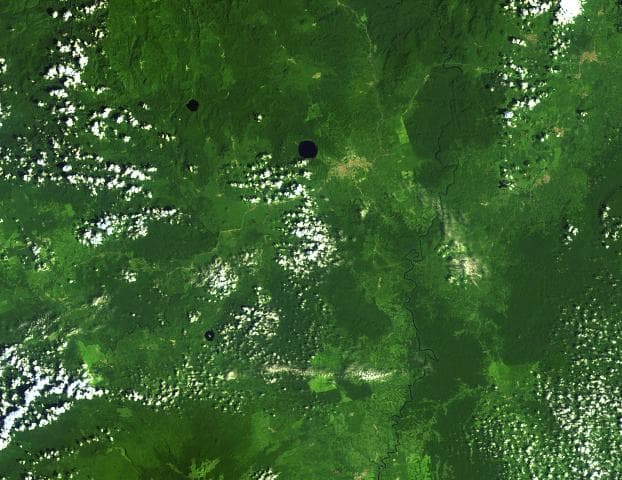
Manengouba is located in Cameroon, within the Western Africa Volcanic Province of the broader Northern Africa Volcanic Regions. Situated at 5.03° N, 9.83° E in the Northern Hemisphere, the volcano lies within a tropical climate zone. At 2,411 meters above sea level, Manengouba rises above the surrounding terrain into montane or subalpine conditions. The elevation creates distinct ecological zones along its flanks, from forested lower slopes to exposed rocky terrain near the summit. The volcanic landform is characterized as a composite, which describes the physical shape and structure of the volcanic edifice as observed from the surface.
GVP Reference Summary
The Manengouba volcanic complex is located across the Tombel Graben from Mount Cameroon. Growth of the initial Manengouba shield volcano during the early Pleistocene was followed by growth of the Eboga stratovolcano. The subsequent Elengoum extrusive complex consists of trachytic pyroclastic flows and trachyandesitic to trachytic lava domes, and magma withdrawal associated with these eruptions was linked to formation of the 4-km-wide Eboga caldera. Renewed eruptions within the caldera and on its flanks produced about one hundred pyroclastic cones and three maars during the latest stage of activity at Manengouba that were dated between about 0.45 and 0.11 Ma.
— Smithsonian Institution, Global Volcanism Program
0 Recorded Eruptions
No eruption records available for Manengouba.
Real-Time Data
Frequently Asked Questions About Manengouba
Is Manengouba an active volcano?+
Manengouba is not currently classified as active. Its activity evidence is listed as "unknown." No recorded eruptions have been documented. However, no volcano is ever considered permanently extinct.
How high is Manengouba?+
Manengouba has a summit elevation of 2,411 meters (7,910 feet) above sea level. At 2,411 meters, it is comparable in height to many significant mountain peaks and stands well above the tree line.
What type of volcano is Manengouba?+
Manengouba is classified as a Stratovolcano. Stratovolcanoes (also called composite volcanoes) are steep, conical volcanoes built up by many layers of hardened lava, tephra, and volcanic ash. They are among the most common and dangerous types, known for explosive eruptions.
Where is Manengouba located?+
Manengouba is located in Cameroon, in the Northern Africa Volcanic Regions. More specifically, it lies within the Western Africa Volcanic Province. Its exact coordinates are 5.030° latitude, 9.830° longitude.
Is it safe to visit Manengouba?+
Manengouba can generally be visited, but as with any volcano, visitors should check local conditions and any advisory notices before traveling. Cameroon may have specific regulations for accessing volcanic areas. Guided tours are often the safest and most informative way to experience a volcano.

