About Ciguatepe, Cerro el
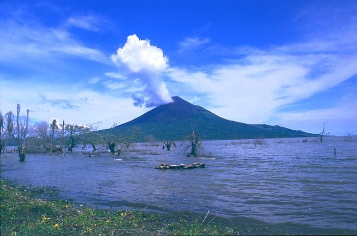
Ciguatepe, Cerro el is a stratovolcano rising to 603 meters (1,978 feet) in Nicaragua's Middle America-Caribbean Volcanic Regions. No historical eruptions have been recorded, though the volcano is classified based on geological evidence of past activity.
Geography & Climate
Ciguatepe, Cerro el is located in Nicaragua, within the Central America Volcanic Arc of the broader Middle America-Caribbean Volcanic Regions. Situated at 12.54° N, 86.14° W in the Northern Hemisphere, the volcano lies within a tropical climate zone. With a summit elevation of 603 meters above sea level, Ciguatepe, Cerro el is a moderately sized peak that remains accessible to hikers and researchers for much of the year. The volcanic landform is characterized as a composite, which describes the physical shape and structure of the volcanic edifice as observed from the surface.
GVP Reference Summary
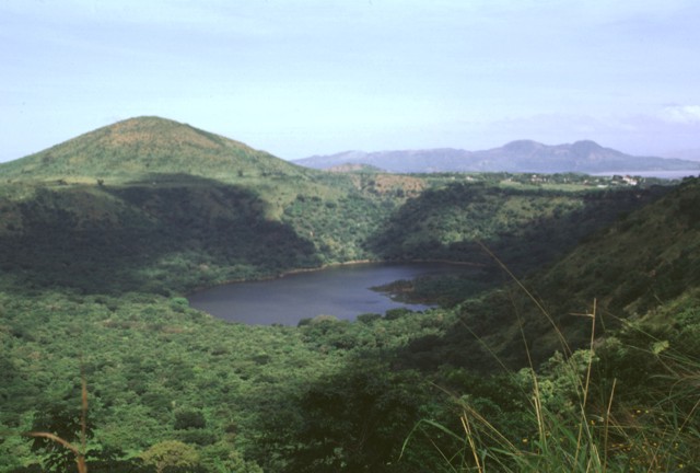
Cerro el Ciguatepe is one of several Quaternary volcanoes that lie in the Nicaraguan interior highlands, east of the Nicaraguan depression. The steep-sided stratovolcano was constructed east of the Río Pacora, NE of Lake Managua at the boundary of the flat-lying Tertiary ignimbrite deposits with the fault-blocks bordering the Nicaraguan depression. A small lava flow extends a short distance beyond the base of the cone through a breach in the SW wall of the 1.5-km-wide crater, which has a blocky dome in the center.
— Smithsonian Institution, Global Volcanism Program
0 Recorded Eruptions
No eruption records available for Ciguatepe, Cerro el.
Real-Time Data
Frequently Asked Questions About Ciguatepe, Cerro el
Is Ciguatepe, Cerro el an active volcano?+
Ciguatepe, Cerro el is not currently classified as active. Its activity evidence is listed as "unknown." No recorded eruptions have been documented. However, no volcano is ever considered permanently extinct.
How high is Ciguatepe, Cerro el?+
Ciguatepe, Cerro el has a summit elevation of 603 meters (1,978 feet) above sea level. At 603 meters, it is a relatively low-elevation volcano.
What type of volcano is Ciguatepe, Cerro el?+
Ciguatepe, Cerro el is classified as a Stratovolcano. Stratovolcanoes (also called composite volcanoes) are steep, conical volcanoes built up by many layers of hardened lava, tephra, and volcanic ash. They are among the most common and dangerous types, known for explosive eruptions.
Where is Ciguatepe, Cerro el located?+
Ciguatepe, Cerro el is located in Nicaragua, in the Middle America-Caribbean Volcanic Regions. More specifically, it lies within the Central America Volcanic Arc. Its exact coordinates are 12.535° latitude, -86.144° longitude.
Is it safe to visit Ciguatepe, Cerro el?+
Ciguatepe, Cerro el can generally be visited, but as with any volcano, visitors should check local conditions and any advisory notices before traveling. Nicaragua may have specific regulations for accessing volcanic areas. Guided tours are often the safest and most informative way to experience a volcano.