About Telomoyo
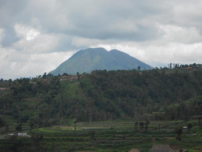
Telomoyo is a stratovolcano rising to 1,891 meters (6,204 feet) in Indonesia's Sunda-Banda Volcanic Regions. No historical eruptions have been recorded, though the volcano is classified based on geological evidence of past activity.
Geography & Climate
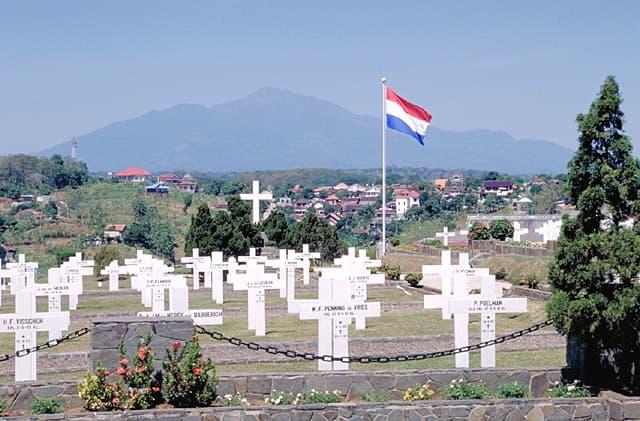
Telomoyo is located in Indonesia, within the Sunda Volcanic Arc of the broader Sunda-Banda Volcanic Regions. Situated at 7.36° S, 110.40° E in the Southern Hemisphere, the volcano lies within a tropical climate zone. With a summit elevation of 1,891 meters above sea level, Telomoyo is a moderately sized peak that remains accessible to hikers and researchers for much of the year. The volcanic landform is characterized as a composite, which describes the physical shape and structure of the volcanic edifice as observed from the surface.
GVP Reference Summary
The Telomoyo cone was constructed over the southern flank of the eroded Pleistocene Soropati volcano, about 3 km from the approximate center of that older edifice. A similar eroded cone or lava dome, Gunung Andong, is 4 km SW. Both of these features are also on the NW flank of Merbabu, with Telomoyo ~11 km from the summit, and appear to be partially buried by deposits from that volcano. These volcanoes are along a NNW-SSE line of volcanoes extending from Ungaran in the north to Merapi in the south. Although van Bemmelen (1941) suggested that part of this complex was Holocene, no eruptions have been identified or dated.
— Smithsonian Institution, Global Volcanism Program
0 Recorded Eruptions
No eruption records available for Telomoyo.
Real-Time Data
Frequently Asked Questions About Telomoyo
Is Telomoyo an active volcano?+
Telomoyo is not currently classified as active. Its activity evidence is listed as "unknown." No recorded eruptions have been documented. However, no volcano is ever considered permanently extinct.
How high is Telomoyo?+
Telomoyo has a summit elevation of 1,891 meters (6,204 feet) above sea level. At 1,891 meters, it is a moderately sized volcanic peak, roughly comparable to Mount Vesuvius (1,281m).
What type of volcano is Telomoyo?+
Telomoyo is classified as a Stratovolcano. Stratovolcanoes (also called composite volcanoes) are steep, conical volcanoes built up by many layers of hardened lava, tephra, and volcanic ash. They are among the most common and dangerous types, known for explosive eruptions.
Where is Telomoyo located?+
Telomoyo is located in Indonesia, in the Sunda-Banda Volcanic Regions. More specifically, it lies within the Sunda Volcanic Arc. Its exact coordinates are -7.361° latitude, 110.400° longitude.
Is it safe to visit Telomoyo?+
Telomoyo can generally be visited, but as with any volcano, visitors should check local conditions and any advisory notices before traveling. Indonesia may have specific regulations for accessing volcanic areas. Guided tours are often the safest and most informative way to experience a volcano.