Karapinar Monogenetic Field
Volcanic field · 1,302m · Turkiye
About Karapinar Monogenetic Field
Karapinar Monogenetic Field is a volcanic field rising to 1,302 meters (4,272 feet) in Turkiye's European Volcanic Regions. No historical eruptions have been recorded, though the volcano is classified based on geological evidence of past activity.
Geography & Climate
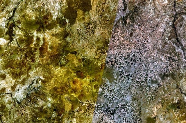
Karapinar Monogenetic Field is located in Turkiye, within the Western Anatolian Volcanic Province of the broader European Volcanic Regions. Situated at 37.64° N, 33.59° E in the Northern Hemisphere, the volcano lies within a temperate climate zone. With a summit elevation of 1,302 meters above sea level, Karapinar Monogenetic Field is a moderately sized peak that remains accessible to hikers and researchers for much of the year. The volcanic landform is characterized as a cluster, which describes the physical shape and structure of the volcanic edifice as observed from the surface.
GVP Reference Summary
The Karapinar Monogenetic Field is the SW-most area of Quaternary volcanism in Central Anatolia, SW of the Karacadag volcano. As defined by Uslusar et al. (2021), the field contains 17 scoria cones (basaltic), one lava dome (andesitic), four maars (basaltic), and three undifferentiated features. They note that a NE-SW alignment of maars and adjacent scoria cones almost parallel to the Ecemis fault. The maars evolved from hyaloclastite tuff rings to maars to cinder cones, reflecting varying lake water levels during eruptions. Meke Dagi, at the southern extent of the field, is one of the largest cinder cones in Central Anatolia. Ar-Ar radiometric ages from scoria cones were 160-500 ka (from Reid et al., 2017, reported by Uslusar et al., 2021).
— Smithsonian Institution, Global Volcanism Program
0 Recorded Eruptions
No eruption records available for Karapinar Monogenetic Field.
Real-Time Data
Frequently Asked Questions About Karapinar Monogenetic Field
Is Karapinar Monogenetic Field an active volcano?+
Karapinar Monogenetic Field is not currently classified as active. Its activity evidence is listed as "unknown." No recorded eruptions have been documented. However, no volcano is ever considered permanently extinct.
How high is Karapinar Monogenetic Field?+
Karapinar Monogenetic Field has a summit elevation of 1,302 meters (4,272 feet) above sea level. At 1,302 meters, it is a moderately sized volcanic peak, roughly comparable to Mount Vesuvius (1,281m).
What type of volcano is Karapinar Monogenetic Field?+
Karapinar Monogenetic Field is classified as a Volcanic field. Volcanic fields consist of clusters of small volcanic vents and cinder cones spread across a region. Rather than a single central vent, eruptions can occur at many points across the field.
Where is Karapinar Monogenetic Field located?+
Karapinar Monogenetic Field is located in Turkiye, in the European Volcanic Regions. More specifically, it lies within the Western Anatolian Volcanic Province. Its exact coordinates are 37.641° latitude, 33.590° longitude.
Is it safe to visit Karapinar Monogenetic Field?+
Karapinar Monogenetic Field can generally be visited, but as with any volcano, visitors should check local conditions and any advisory notices before traveling. Turkiye may have specific regulations for accessing volcanic areas. Guided tours are often the safest and most informative way to experience a volcano.