About Ngaoundere Plateau
Ngaoundere Plateau is a volcanic field rising to 1,230 meters (4,036 feet) in Cameroon's Northern Africa Volcanic Regions. No historical eruptions have been recorded, though the volcano is classified based on geological evidence of past activity.
Geography & Climate
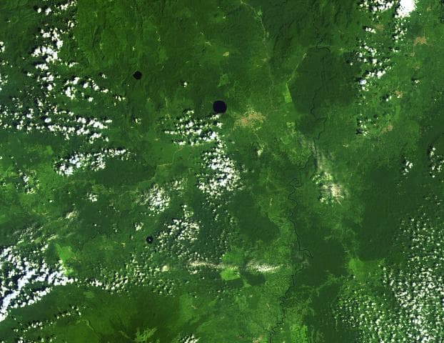
Ngaoundere Plateau is located in Cameroon, within the Western Africa Volcanic Province of the broader Northern Africa Volcanic Regions. Situated at 7.25° N, 13.67° E in the Northern Hemisphere, the volcano lies within a tropical climate zone. With a summit elevation of 1,230 meters above sea level, Ngaoundere Plateau is a moderately sized peak that remains accessible to hikers and researchers for much of the year. The volcanic landform is characterized as a cluster, which describes the physical shape and structure of the volcanic edifice as observed from the surface.
GVP Reference Summary
The Ngaoundere volcanic field is located within a larger late-Miocene region of plateau basalts, plug domes and a single large basanitic-to-trachytic stratovolcano, Nganha. Quaternary volcanism is situated east of Ngaoundere and Wakwa, and consists of scoria cones and lava flows, maars, and tuff cones. A single Potassium-Argon date of 0.9 million years ago has been obtained from a lava flow east of Wakwa, although some volcanoes are possibly of Holocene age (Vincent 1992, pers. comm.). The most recent eruptive activity originated from a chain of cinder cones aligned in a WNW-ESE direction.
— Smithsonian Institution, Global Volcanism Program
0 Recorded Eruptions
No eruption records available for Ngaoundere Plateau.
Real-Time Data
Frequently Asked Questions About Ngaoundere Plateau
Is Ngaoundere Plateau an active volcano?+
Ngaoundere Plateau is not currently classified as active. Its activity evidence is listed as "unknown." No recorded eruptions have been documented. However, no volcano is ever considered permanently extinct.
How high is Ngaoundere Plateau?+
Ngaoundere Plateau has a summit elevation of 1,230 meters (4,036 feet) above sea level. At 1,230 meters, it is a moderately sized volcanic peak, roughly comparable to Mount Vesuvius (1,281m).
What type of volcano is Ngaoundere Plateau?+
Ngaoundere Plateau is classified as a Volcanic field. Volcanic fields consist of clusters of small volcanic vents and cinder cones spread across a region. Rather than a single central vent, eruptions can occur at many points across the field.
Where is Ngaoundere Plateau located?+
Ngaoundere Plateau is located in Cameroon, in the Northern Africa Volcanic Regions. More specifically, it lies within the Western Africa Volcanic Province. Its exact coordinates are 7.250° latitude, 13.670° longitude.
Is it safe to visit Ngaoundere Plateau?+
Ngaoundere Plateau can generally be visited, but as with any volcano, visitors should check local conditions and any advisory notices before traveling. Cameroon may have specific regulations for accessing volcanic areas. Guided tours are often the safest and most informative way to experience a volcano.