About Koolau
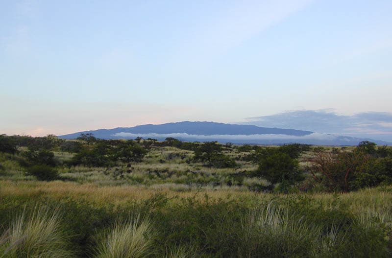
Koolau is a shield rising to 941 meters (3,087 feet) in United States's Eastern Pacific Volcanic Regions. No historical eruptions have been recorded, though the volcano is classified based on geological evidence of past activity.
Geography & Climate
Koolau is located in United States, within the Hawaiian-Emperor Hotspot Volcano Group of the broader Eastern Pacific Volcanic Regions. Situated at 21.37° N, 157.80° W in the Northern Hemisphere, the volcano lies within a tropical climate zone. With a summit elevation of 941 meters above sea level, Koolau is a moderately sized peak that remains accessible to hikers and researchers for much of the year. The volcanic landform is characterized as a shield, which describes the physical shape and structure of the volcanic edifice as observed from the surface.
GVP Reference Summary
The extensively eroded, elongated Koolau basaltic shield volcano of Pliocene-to-Pleistocene age forms much of the eastern half of Oahu Island. A lengthy NW rift zone is defined by a dike complex that runs the length of the windward coast. The largest documented submarine landslide of the Hawaiian islands produced the Nuuanu debris avalanche, which traveled 230 km NE from its source at the Nuuanu Pali on the NE side of the volcano. After a period of long quiescence activity resumed, forming the Honolulu volcanic series at the SE end of Oahu. The youngest members of the Honolulu Series, which consists of a group of tuff cones, maars, cinder cones, and spatter cones, many with associated lava flows, were considered by Stearns (1946) to be about 5000 years old. The youngest radiometric dates, however, ranged from 31,000 to 43,000 years old (Mullineaux et al., 1987), and more recent work (Ozawa et al., 2005) dated material to about 40,000 years. Sherrod (pers. comm., 2006) noted that earlier estimates of Holocene ages have been shown to be incorrect, and that the Sugarloaf lava flow, thought to be younger than 10,000 years, was dated at 110,000 years.
— Smithsonian Institution, Global Volcanism Program
0 Recorded Eruptions
No eruption records available for Koolau.
Real-Time Data
Frequently Asked Questions About Koolau
Is Koolau an active volcano?+
Koolau is not currently classified as active. Its activity evidence is listed as "unknown." No recorded eruptions have been documented. However, no volcano is ever considered permanently extinct.
How high is Koolau?+
Koolau has a summit elevation of 941 meters (3,087 feet) above sea level. At 941 meters, it is a relatively low-elevation volcano.
What type of volcano is Koolau?+
Koolau is classified as a Shield. Shield volcanoes have distinct geological characteristics that set them apart from other volcanic types.
Where is Koolau located?+
Koolau is located in United States, in the Eastern Pacific Volcanic Regions. More specifically, it lies within the Hawaiian-Emperor Hotspot Volcano Group. Its exact coordinates are 21.370° latitude, -157.800° longitude.
Is it safe to visit Koolau?+
Koolau can generally be visited, but as with any volcano, visitors should check local conditions and any advisory notices before traveling. United States may have specific regulations for accessing volcanic areas. Guided tours are often the safest and most informative way to experience a volcano.