About Kahoolawe
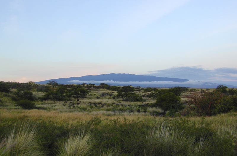
Kahoolawe is a shield rising to 450 meters (1,476 feet) in United States's Eastern Pacific Volcanic Regions. No historical eruptions have been recorded, though the volcano is classified based on geological evidence of past activity.
Geography & Climate
Kahoolawe is located in United States, within the Hawaiian-Emperor Hotspot Volcano Group of the broader Eastern Pacific Volcanic Regions. Situated at 20.57° N, 156.57° W in the Northern Hemisphere, the volcano lies within a tropical climate zone. At just 450 meters above sea level, Kahoolawe is a relatively low-elevation volcanic feature. Despite its modest height, it remains an active geological formation with the same underlying magmatic processes as its taller counterparts. The volcanic landform is characterized as a shield, which describes the physical shape and structure of the volcanic edifice as observed from the surface.
GVP Reference Summary
The uninhabited island of Kahoolawe, SW of the island of Maui, consists of a broad, low basaltic shield volcano formed by Pleistocene eruptions along a rift zone that extends SW from a buried, 5-km-wide caldera at the eastern side of the island. The eastern rim of the caldera lies beneath the waters of Kanapou Bay. Two less prominent rift zones trend to the east and north. Much of the island is truncated by steep sea cliffs that expose the thin lava flows making up the volcano. Stearns (1946) and Macdonald and Abbott (1970) considered cinder cones within the caldera on the west side of Kanapou Bay to be of Holocene age, but this age was considered probably too young by Langenheim and Clague (1987), who mapped the cones as Pleistocene or Holocene. Sano et al. (2006) obtained K-Ar dates on the youngest flows of 900,000 to 980,000 years Before Present.
— Smithsonian Institution, Global Volcanism Program
0 Recorded Eruptions
No eruption records available for Kahoolawe.
Real-Time Data
Frequently Asked Questions About Kahoolawe
Is Kahoolawe an active volcano?+
Kahoolawe is not currently classified as active. Its activity evidence is listed as "unknown." No recorded eruptions have been documented. However, no volcano is ever considered permanently extinct.
How high is Kahoolawe?+
Kahoolawe has a summit elevation of 450 meters (1,476 feet) above sea level. At 450 meters, it is a relatively low-elevation volcano.
What type of volcano is Kahoolawe?+
Kahoolawe is classified as a Shield. Shield volcanoes have distinct geological characteristics that set them apart from other volcanic types.
Where is Kahoolawe located?+
Kahoolawe is located in United States, in the Eastern Pacific Volcanic Regions. More specifically, it lies within the Hawaiian-Emperor Hotspot Volcano Group. Its exact coordinates are 20.570° latitude, -156.570° longitude.
Is it safe to visit Kahoolawe?+
Kahoolawe can generally be visited, but as with any volcano, visitors should check local conditions and any advisory notices before traveling. United States may have specific regulations for accessing volcanic areas. Guided tours are often the safest and most informative way to experience a volcano.