About Tondano Caldera
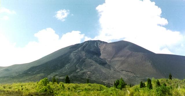
Tondano Caldera is a caldera rising to 1,202 meters (3,944 feet) in Indonesia's Western Pacific Volcanic Regions. No historical eruptions have been recorded, though the volcano is classified based on geological evidence of past activity.
Geography & Climate
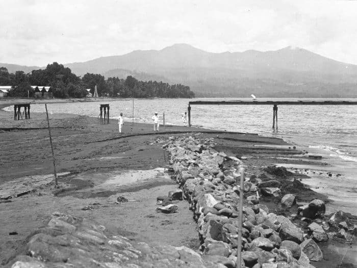
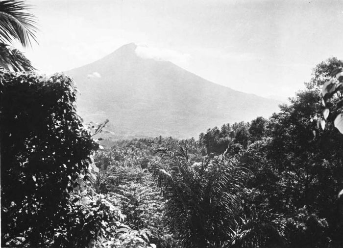
Tondano Caldera is located in Indonesia, within the Sangihe Volcanic Arc of the broader Western Pacific Volcanic Regions. Situated at 1.23° N, 124.83° E in the Northern Hemisphere, the volcano lies within a tropical climate zone. With a summit elevation of 1,202 meters above sea level, Tondano Caldera is a moderately sized peak that remains accessible to hikers and researchers for much of the year. The volcanic landform is characterized as a caldera, which describes the physical shape and structure of the volcanic edifice as observed from the surface.
GVP Reference Summary
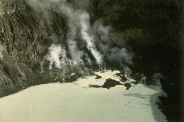
Tondano is an approximately 20 x 30 km Quaternary caldera in north Sulawesi containing post-caldera pyroclastic cones, obsidian flows, and thermal areas. Lake Tondano lies against the well-defined eastern caldera rim. Active andesitic-to-basaltic stratovolcanoes lie astride the poorly defined southern and northern rims of the caldera. The age of the latest eruptions within the caldera is not known, although thermal areas occur at Batu Kolok and Sarangson, and at the Tampusu cinder cone and Lahendong maar.
— Smithsonian Institution, Global Volcanism Program
0 Recorded Eruptions
No eruption records available for Tondano Caldera.
Real-Time Data
Frequently Asked Questions About Tondano Caldera
Is Tondano Caldera an active volcano?+
Tondano Caldera is not currently classified as active. Its activity evidence is listed as "unknown." No recorded eruptions have been documented. However, no volcano is ever considered permanently extinct.
How high is Tondano Caldera?+
Tondano Caldera has a summit elevation of 1,202 meters (3,944 feet) above sea level. At 1,202 meters, it is a moderately sized volcanic peak, roughly comparable to Mount Vesuvius (1,281m).
What type of volcano is Tondano Caldera?+
Tondano Caldera is classified as a Caldera. Calderas are large volcanic depressions formed when a volcano erupts so powerfully that its magma chamber collapses, creating a basin that can be kilometers wide. They are often sites of some of Earth's largest eruptions.
Where is Tondano Caldera located?+
Tondano Caldera is located in Indonesia, in the Western Pacific Volcanic Regions. More specifically, it lies within the Sangihe Volcanic Arc. Its exact coordinates are 1.230° latitude, 124.830° longitude.
Is it safe to visit Tondano Caldera?+
Tondano Caldera can generally be visited, but as with any volcano, visitors should check local conditions and any advisory notices before traveling. Indonesia may have specific regulations for accessing volcanic areas. Guided tours are often the safest and most informative way to experience a volcano.