About Mahawu
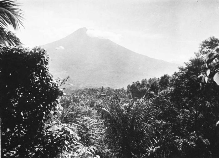
Mahawu is a stratovolcano rising to 1,299 meters (4,262 feet) in Indonesia's Western Pacific Volcanic Regions. It last erupted in 1977 CE, and volcanologists consider it an active volcanic system. The volcano has produced 7 recorded eruptions, with a maximum Volcanic Explosivity Index (VEI) of 2.
Geography & Climate
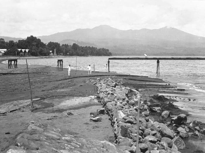
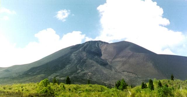
Mahawu is located in Indonesia, within the Sangihe Volcanic Arc of the broader Western Pacific Volcanic Regions. Situated at 1.35° N, 124.86° E in the Northern Hemisphere, the volcano lies within a tropical climate zone. With a summit elevation of 1,299 meters above sea level, Mahawu is a moderately sized peak that remains accessible to hikers and researchers for much of the year. The volcanic landform is characterized as a composite, which describes the physical shape and structure of the volcanic edifice as observed from the surface.
Geological Context
Mahawu sits in a subduction zone, where one tectonic plate dives beneath another, creating intense heat and pressure that generates magma. Subduction zones are responsible for many of the world's most explosive volcanoes and deadliest eruptions. For communities in Indonesia near Mahawu, this tectonic setting means the volcano is capable of producing powerful explosive eruptions, pyroclastic flows, and lahars that can threaten populated areas within tens of kilometers of the summit. The dominant rock type is andesite / basaltic andesite, a dark, fine-grained volcanic rock that forms from rapidly cooling, low-viscosity lava. Basaltic eruptions tend to be less explosive and produce fluid lava flows that can travel long distances. While less immediately dangerous than explosive eruptions, basaltic lava flows can destroy structures and infrastructure in their path, and volcanic gases released during these eruptions can affect air quality over a wide area.
Eruption History Summary
Mahawu has 7 recorded eruptions in the geological database, spanning from 1788 CE to 1977 CE. The most powerful recorded event was an explosive event producing ash plumes up to several kilometers in 1958 CE, reaching VEI 2 on the Volcanic Explosivity Index. This eruption frequency indicates a moderately active volcanic system with periodic reawakenings. The most recent eruption in 1977 CE places this volcano within the modern era of volcanological observation.
Significance
With 7 recorded eruptions on file, Mahawu has enough documented activity to help scientists identify patterns in its eruptive behavior. Given its recent activity, Mahawu is closely monitored by geological survey organizations to provide early warning of future unrest.
GVP Reference Summary
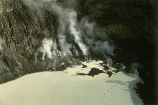
The elongated Mahawu volcano immediately east of Lokon-Empung volcano is the northernmost of a series of young volcanoes along a SSW-NNE line near the margin of the Quaternary Tondano caldera. Mahawu is capped by a 180-m-wide, 140-m-deep crater that sometimes contains a small crater lake, and has two pyroclastic cones on its N flank. Historical activity has been restricted to occasional small explosive eruptions recorded since 1789. In 1994 fumaroles, mudpots, and small geysers were observed along the shores of a greenish-colored crater lake.
— Smithsonian Institution, Global Volcanism Program
7 Recorded Eruptions
| Year | VEI | Type | Area |
|---|---|---|---|
| 1977 | 0 | Confirmed Eruption | — |
| 1958 | 2 | Confirmed Eruption | — |
| 1952 | 2 | Confirmed Eruption | — |
| 1904 | 2 | Confirmed Eruption | — |
| 1846 | 2 | Confirmed Eruption | — |
| 1789 | 2 | Confirmed Eruption | — |
| 1788 | — | Confirmed Eruption | — |
Real-Time Data
Frequently Asked Questions About Mahawu
Is Mahawu an active volcano?+
Yes, Mahawu is considered an active volcano. Its most recent eruption was in 1977 CE. The volcano is monitored by geological agencies, and its activity status is based on observed eruptions within recorded history.
When did Mahawu last erupt?+
The most recent recorded eruption of Mahawu occurred in 1977 CE with a Volcanic Explosivity Index (VEI) of 0. The eruption was classified as a "Confirmed Eruption." Mahawu has 7 recorded eruptions in total.
How high is Mahawu?+
Mahawu has a summit elevation of 1,299 meters (4,262 feet) above sea level. At 1,299 meters, it is a moderately sized volcanic peak, roughly comparable to Mount Vesuvius (1,281m).
What type of volcano is Mahawu?+
Mahawu is classified as a Stratovolcano. Stratovolcanoes (also called composite volcanoes) are steep, conical volcanoes built up by many layers of hardened lava, tephra, and volcanic ash. They are among the most common and dangerous types, known for explosive eruptions.
Where is Mahawu located?+
Mahawu is located in Indonesia, in the Western Pacific Volcanic Regions. More specifically, it lies within the Sangihe Volcanic Arc. Its exact coordinates are 1.352° latitude, 124.865° longitude.
Is it safe to visit Mahawu?+
Visiting Mahawu requires checking current volcanic activity and alert levels. As an active volcano with eruptions as recent as 1977 CE, conditions can change rapidly. Always consult local geological authorities and follow official warnings before visiting. Many active volcanoes have designated safe viewing areas and guided tour options.