About Sekincau Belirang
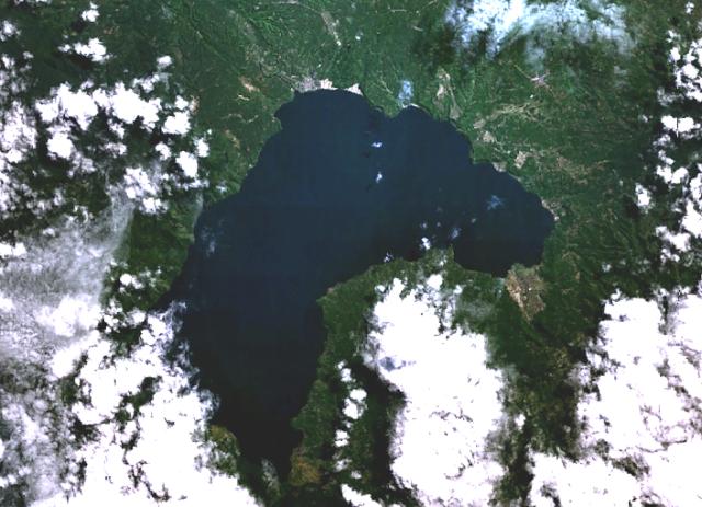
Sekincau Belirang is a caldera(s) rising to 1,717 meters (5,633 feet) in Indonesia's Sunda-Banda Volcanic Regions. No historical eruptions have been recorded, though the volcano is classified based on geological evidence of past activity.
Geography & Climate
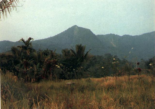
Sekincau Belirang is located in Indonesia, within the Sunda Volcanic Arc of the broader Sunda-Banda Volcanic Regions. Situated at 5.11° S, 104.32° E in the Southern Hemisphere, the volcano lies within a tropical climate zone. With a summit elevation of 1,717 meters above sea level, Sekincau Belirang is a moderately sized peak that remains accessible to hikers and researchers for much of the year. The volcanic landform is characterized as a composite, which describes the physical shape and structure of the volcanic edifice as observed from the surface.
GVP Reference Summary
Sekincau volcano was constructed near the southern rim of the small NW-SE-trending double Belirang and Balak calderas, 2 and 2.5 km wide, respectively. The 300-m-wide crater of Sekincau is open to the south. The age of the latest eruptive activity is not known, although fumarolic activity occurs on the caldera floor and on the E and SE outer flanks of Balak caldera.
— Smithsonian Institution, Global Volcanism Program
0 Recorded Eruptions
No eruption records available for Sekincau Belirang.
Real-Time Data
Frequently Asked Questions About Sekincau Belirang
Is Sekincau Belirang an active volcano?+
Sekincau Belirang is not currently classified as active. Its activity evidence is listed as "unknown." No recorded eruptions have been documented. However, no volcano is ever considered permanently extinct.
How high is Sekincau Belirang?+
Sekincau Belirang has a summit elevation of 1,717 meters (5,633 feet) above sea level. At 1,717 meters, it is a moderately sized volcanic peak, roughly comparable to Mount Vesuvius (1,281m).
What type of volcano is Sekincau Belirang?+
Sekincau Belirang is classified as a Caldera(s). Caldera(s) volcanoes have distinct geological characteristics that set them apart from other volcanic types.
Where is Sekincau Belirang located?+
Sekincau Belirang is located in Indonesia, in the Sunda-Banda Volcanic Regions. More specifically, it lies within the Sunda Volcanic Arc. Its exact coordinates are -5.107° latitude, 104.317° longitude.
Is it safe to visit Sekincau Belirang?+
Sekincau Belirang can generally be visited, but as with any volcano, visitors should check local conditions and any advisory notices before traveling. Indonesia may have specific regulations for accessing volcanic areas. Guided tours are often the safest and most informative way to experience a volcano.