About Pinta
Pinta is a shield rising to 729 meters (2,392 feet) in Ecuador's Eastern Pacific Volcanic Regions. No historical eruptions have been recorded, though the volcano is classified based on geological evidence of past activity. The volcano has produced 1 recorded eruption.
Geography & Climate
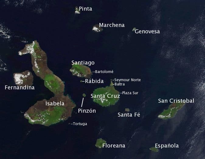
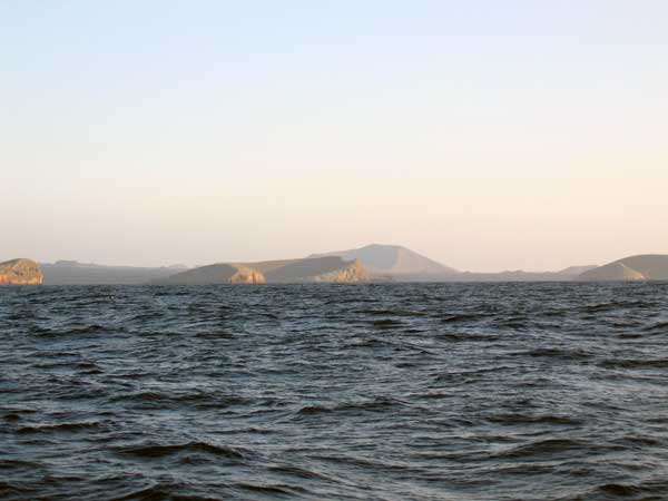
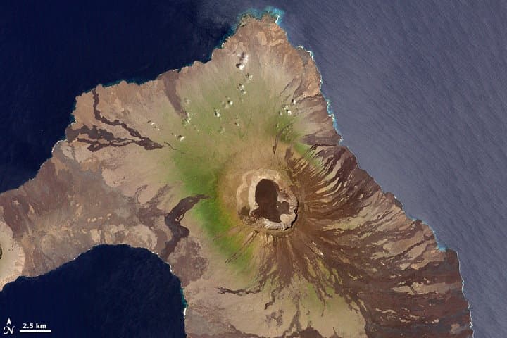
Pinta is located in Ecuador, within the Northern Galapagos Volcanic Province of the broader Eastern Pacific Volcanic Regions. Situated at 0.59° N, 90.76° W in the Northern Hemisphere, the volcano lies within a tropical climate zone. With a summit elevation of 729 meters above sea level, Pinta is a moderately sized peak that remains accessible to hikers and researchers for much of the year. The volcanic landform is characterized as a shield, which describes the physical shape and structure of the volcanic edifice as observed from the surface.
Geological Context
Pinta is situated along a rift zone, where tectonic plates are pulling apart. As the crust thins and fractures, magma rises to fill the gap, creating volcanic activity. Rift volcanism typically produces more fluid lava flows rather than explosive blasts, which means communities near Pinta in Ecuador generally face slower-moving hazards like lava flows and ground fissures rather than sudden pyroclastic events. However, rift volcanoes can still generate significant ash emissions and gas releases that affect local air quality. The dominant rock type is basalt / picro-basalt, a dark, fine-grained volcanic rock that forms from rapidly cooling, low-viscosity lava. Basaltic eruptions tend to be less explosive and produce fluid lava flows that can travel long distances. While less immediately dangerous than explosive eruptions, basaltic lava flows can destroy structures and infrastructure in their path, and volcanic gases released during these eruptions can affect air quality over a wide area.
Eruption History Summary
Pinta has 1 recorded eruption in the geological database, spanning from 1928 CE to 1928 CE. The most recent eruption in 1928 CE places this volcano within the modern era of volcanological observation.
GVP Reference Summary
The elongated island of Pinta is a shield volcano with numerous cones and lava flows originating from NNW-trending fissures. A steep sea cliff truncates the W flank. The unvegetated lava flows that cover the SE and N flanks appear to have been erupted during the past few thousand or few hundred years (McBirney and Williams, 1969). Although an eruption was reported in 1928 (U.S. Hydrographic Office, 1938), no description or source of that event is given, so it is considered uncertain; no confirmed or dated eruptions are known.
— Smithsonian Institution, Global Volcanism Program
1 Recorded Eruption
| Year | VEI | Type | Area |
|---|---|---|---|
| 1928 | — | Uncertain Eruption | — |
Real-Time Data
Frequently Asked Questions About Pinta
Is Pinta an active volcano?+
Pinta is classified as active based on credible evidence of past eruptions. Although its last known eruption was in prehistoric times, volcanologists consider it capable of erupting again.
When did Pinta last erupt?+
The most recent recorded eruption of Pinta occurred in 1928 CE. The eruption was classified as a "Uncertain Eruption." Pinta has 1 recorded eruption in total.
How high is Pinta?+
Pinta has a summit elevation of 729 meters (2,392 feet) above sea level. At 729 meters, it is a relatively low-elevation volcano.
What type of volcano is Pinta?+
Pinta is classified as a Shield. Shield volcanoes have distinct geological characteristics that set them apart from other volcanic types.
Where is Pinta located?+
Pinta is located in Ecuador, in the Eastern Pacific Volcanic Regions. More specifically, it lies within the Northern Galapagos Volcanic Province. Its exact coordinates are 0.586° latitude, -90.755° longitude.
Is it safe to visit Pinta?+
Pinta can generally be visited, but as with any volcano, visitors should check local conditions and any advisory notices before traveling. Ecuador may have specific regulations for accessing volcanic areas. Guided tours are often the safest and most informative way to experience a volcano.