About Utila Volcanic Center
Utila Volcanic Center is a pyroclastic cone(s) rising to 51 meters (167 feet) in Honduras's Middle America-Caribbean Volcanic Regions. No historical eruptions have been recorded, though the volcano is classified based on geological evidence of past activity.
Geography & Climate
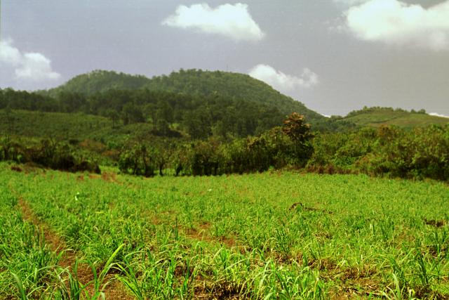
Utila Volcanic Center is located in Honduras, within the Central America Volcanic Arc of the broader Middle America-Caribbean Volcanic Regions. Situated at 16.11° N, 86.89° W in the Northern Hemisphere, the volcano lies within a tropical climate zone. At just 51 meters above sea level, Utila Volcanic Center is a relatively low-elevation volcanic feature. Despite its modest height, it remains an active geological formation with the same underlying magmatic processes as its taller counterparts. The volcanic landform is characterized as a minor, which describes the physical shape and structure of the volcanic edifice as observed from the surface.
GVP Reference Summary
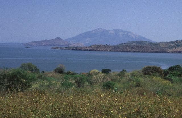
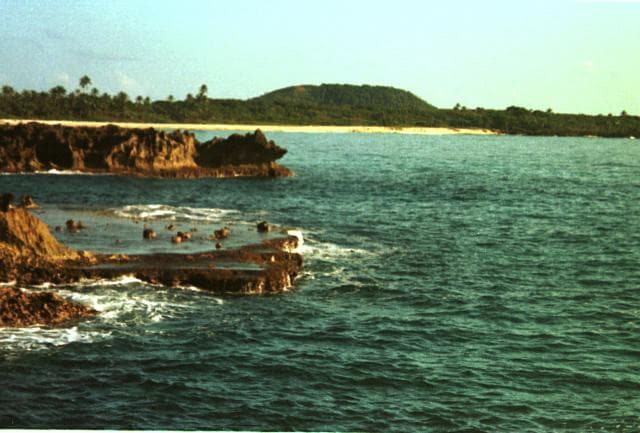
Located in the Caribbean Sea off the northern coast of Honduras, the Utila Volcanic Center is described by Kepezhinskas et al. (2020) as a monogenetic volcano in the Central American Volcanic Arc back-arc region, where a single eruption (less than 200,000 years BP) produced a suite of basaltic lavas and palagonite lapilli tuff that contain kaersutite-bearing gabbroic xenoliths. Although McBirney and Bass (1969) described the basaltic rocks on the eastern end of the island as Holocene, the timing of the eruption is uncertain. Both Calibri (also called Stuert or Stuart) Hill and Pumpkin Hill are tuff cones within an area of basaltic lava flows (Kepezhinskas et al., 2020).
— Smithsonian Institution, Global Volcanism Program
0 Recorded Eruptions
No eruption records available for Utila Volcanic Center.
Real-Time Data
Frequently Asked Questions About Utila Volcanic Center
Is Utila Volcanic Center an active volcano?+
Utila Volcanic Center is not currently classified as active. Its activity evidence is listed as "unknown." No recorded eruptions have been documented. However, no volcano is ever considered permanently extinct.
How high is Utila Volcanic Center?+
Utila Volcanic Center has a summit elevation of 51 meters (167 feet) above sea level. At 51 meters, it is a relatively low-elevation volcano.
What type of volcano is Utila Volcanic Center?+
Utila Volcanic Center is classified as a Pyroclastic cone(s). Pyroclastic cones (or cinder cones) are small, steep-sided volcanic cones built from fragments of lava blasted into the air. They are the simplest type of volcano and often form in groups.
Where is Utila Volcanic Center located?+
Utila Volcanic Center is located in Honduras, in the Middle America-Caribbean Volcanic Regions. More specifically, it lies within the Central America Volcanic Arc. Its exact coordinates are 16.113° latitude, -86.888° longitude.
Is it safe to visit Utila Volcanic Center?+
Utila Volcanic Center can generally be visited, but as with any volcano, visitors should check local conditions and any advisory notices before traveling. Honduras may have specific regulations for accessing volcanic areas. Guided tours are often the safest and most informative way to experience a volcano.