About Humeros, Los
Humeros, Los is a caldera(s) rising to 3,150 meters (10,335 feet) in Mexico's Middle America-Caribbean Volcanic Regions. The volcano is currently active, with its most recent eruption in 4470 BCE. The volcano has produced 1 recorded eruption.
Geography & Climate
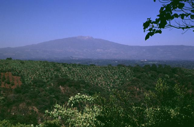
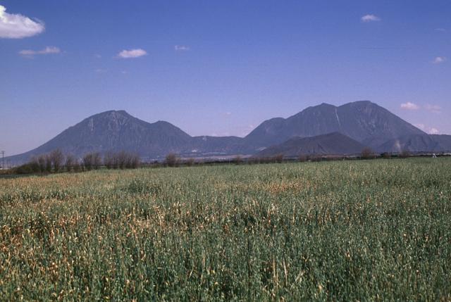
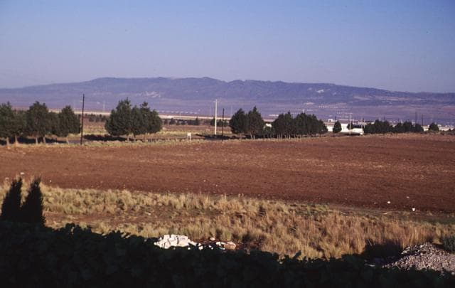
Humeros, Los is located in Mexico, within the Trans-Mexican Volcanic Arc of the broader Middle America-Caribbean Volcanic Regions. Situated at 19.68° N, 97.45° W in the Northern Hemisphere, the volcano lies within a tropical climate zone. At 3,150 meters above sea level, Humeros, Los rises above the surrounding terrain into montane or subalpine conditions. The elevation creates distinct ecological zones along its flanks, from forested lower slopes to exposed rocky terrain near the summit. The volcanic landform is characterized as a caldera, which describes the physical shape and structure of the volcanic edifice as observed from the surface.
Geological Context
Humeros, Los sits in a subduction zone, where one tectonic plate dives beneath another, creating intense heat and pressure that generates magma. Subduction zones are responsible for many of the world's most explosive volcanoes and deadliest eruptions. For communities in Mexico near Humeros, Los, this tectonic setting means the volcano is capable of producing powerful explosive eruptions, pyroclastic flows, and lahars that can threaten populated areas within tens of kilometers of the summit. The dominant rock type is rhyolite, a silica-rich volcanic rock associated with highly viscous magma. Rhyolitic eruptions can be extremely explosive and are responsible for some of the largest volcanic events in Earth's history, including supervolcanic caldera-forming eruptions. The high silica content traps dissolved gases, building enormous pressure that can lead to catastrophic explosive releases.
Eruption History Summary
Humeros, Los has 1 recorded eruption in the geological database, spanning from 4470 BCE to 4470 BCE.
GVP Reference Summary
Los Humeros is the easternmost of a series of silicic volcanic centers with active geothermal systems located north of the axis of the Mexican Volcanic Belt. The first major silicic eruption produced the 230 km3 Xáltipan Ignimbrite about 460,000 years before present (BP), which covered about 3500 km2 and resulted in formation of the 15 x 21 km Los Humeros caldera. The emplacement of post-caldera lava domes and eruption of the 40 km3 Faby Tuff about 240,000 years BP was followed by eruption of the Zaragoza Tuff about 100,000 years BP and formation of the nested 10-km-wide Los Potreros caldera. A third and much smaller caldera (El Xalapazco) was formed about 40,000-20,000 years BP. The most recent eruptions include the production of extensive morphologically youthful basaltic lava flows that are undated, but are younger than a 20,000 BP rhyolitic lava flow and could be in part of early Holocene age. A major explosive eruption about 6400 years ago produced the bimodal plinian Cuilcuiltic Member tephra. Hot springs and fumarolic activity continues, which is a producing the second geothermal field developed in the Mexican Volcanic Belt.
— Smithsonian Institution, Global Volcanism Program
1 Recorded Eruption
| Year | VEI | Type | Area |
|---|---|---|---|
| 4470 BCE | — | Confirmed Eruption | NW and SE sides of caldera |
Real-Time Data
Frequently Asked Questions About Humeros, Los
Is Humeros, Los an active volcano?+
Humeros, Los is not currently classified as active. Its activity evidence is listed as "Eruption Dated." The last known eruption was in 4470 BCE. However, no volcano is ever considered permanently extinct.
When did Humeros, Los last erupt?+
The most recent recorded eruption of Humeros, Los occurred in 4470 BCE. The eruption was classified as a "Confirmed Eruption." Humeros, Los has 1 recorded eruption in total.
How high is Humeros, Los?+
Humeros, Los has a summit elevation of 3,150 meters (10,335 feet) above sea level. At 3,150 meters, it is comparable in height to many significant mountain peaks and stands well above the tree line.
What type of volcano is Humeros, Los?+
Humeros, Los is classified as a Caldera(s). Caldera(s) volcanoes have distinct geological characteristics that set them apart from other volcanic types.
Where is Humeros, Los located?+
Humeros, Los is located in Mexico, in the Middle America-Caribbean Volcanic Regions. More specifically, it lies within the Trans-Mexican Volcanic Arc. Its exact coordinates are 19.680° latitude, -97.450° longitude.
Is it safe to visit Humeros, Los?+
Humeros, Los can generally be visited, but as with any volcano, visitors should check local conditions and any advisory notices before traveling. Mexico may have specific regulations for accessing volcanic areas. Guided tours are often the safest and most informative way to experience a volcano.