About Potato Butte
Potato Butte is a shield(s) rising to 1,532 meters (5,026 feet) in United States's North America Volcanic Regions. No historical eruptions have been recorded, though the volcano is classified based on geological evidence of past activity.
Geography & Climate
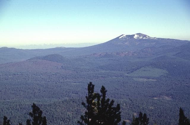
Potato Butte is located in United States, within the Basin and Range Volcanic Province of the broader North America Volcanic Regions. Situated at 40.63° N, 121.43° W in the Northern Hemisphere, the volcano lies within a temperate climate zone. With a summit elevation of 1,532 meters above sea level, Potato Butte is a moderately sized peak that remains accessible to hikers and researchers for much of the year. The volcanic landform is characterized as a cluster, which describes the physical shape and structure of the volcanic edifice as observed from the surface.
GVP Reference Summary
The Potato Butte cinder cone and lava field, including the Hat Creek lava flow that traveled nearly 30 km from a fissure vent near the town of Old Station, lies immediately north of the Lassen volcanic center. Some flows are younger than the Hat Creek flow, which was initially considered to be Holocene, perhaps as young as a few thousand years (Anderson 1940), although later dating showed the the flow to be about 30,000 years old. The younger Potato Butte lavas, once considered to be late Pleistocene or early Holocene, have been K-Ar dated at 65,000-75,000 years old (Clynne et al. 2000). Directly west of Potato Butte is the 61,000-year-old Sugarloaf Peak lava cone.
— Smithsonian Institution, Global Volcanism Program
0 Recorded Eruptions
No eruption records available for Potato Butte.
Real-Time Data
Frequently Asked Questions About Potato Butte
Is Potato Butte an active volcano?+
Potato Butte is not currently classified as active. Its activity evidence is listed as "unknown." No recorded eruptions have been documented. However, no volcano is ever considered permanently extinct.
How high is Potato Butte?+
Potato Butte has a summit elevation of 1,532 meters (5,026 feet) above sea level. At 1,532 meters, it is a moderately sized volcanic peak, roughly comparable to Mount Vesuvius (1,281m).
What type of volcano is Potato Butte?+
Potato Butte is classified as a Shield(s). Shield volcanoes are broad, gently sloping volcanoes built by fluid lava flows. They produce less explosive eruptions compared to stratovolcanoes and tend to have effusive lava rather than violent blasts.
Where is Potato Butte located?+
Potato Butte is located in United States, in the North America Volcanic Regions. More specifically, it lies within the Basin and Range Volcanic Province. Its exact coordinates are 40.630° latitude, -121.430° longitude.
Is it safe to visit Potato Butte?+
Potato Butte can generally be visited, but as with any volcano, visitors should check local conditions and any advisory notices before traveling. United States may have specific regulations for accessing volcanic areas. Guided tours are often the safest and most informative way to experience a volcano.