About Leutongey
Leutongey is a shield rising to 1,318 meters (4,324 feet) in Russia's Northwestern Pacific Volcanic Regions. No historical eruptions have been recorded, though the volcano is classified based on geological evidence of past activity.
Geography & Climate
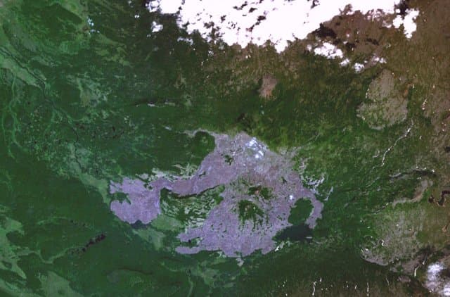
Leutongey is located in Russia, within the Central Kamchatka Volcanic Arc of the broader Northwestern Pacific Volcanic Regions. Situated at 57.31° N, 159.83° E in the Northern Hemisphere, the volcano lies within a subarctic climate zone. With a summit elevation of 1,318 meters above sea level, Leutongey is a moderately sized peak that remains accessible to hikers and researchers for much of the year. The volcanic landform is characterized as a shield, which describes the physical shape and structure of the volcanic edifice as observed from the surface.
GVP Reference Summary
The Quaternary Leutongey basaltic shield-like volcano is at the south end of a NE-SW-trending graben about 20 km W of the crest of the central Sredinny Range. A chain of cinder cones along the same trend cuts across the summit, and another larger cinder cone is on the S flank. The small basaltic Medveshiy stratovolcano is immediately to the SE. Early geological studies in the Sredinny Range (Ogorodov et al., 1972) assigned Holocene ages based on morphology, but later work noted that these volcanoes appear younger because they have less tephra cover than those in eastern Kamchatka. Researchers such as Pevzner (2006) and Ponomareva et al. (2007) do not consider this volcano to be Holocene.
— Smithsonian Institution, Global Volcanism Program
0 Recorded Eruptions
No eruption records available for Leutongey.
Real-Time Data
Frequently Asked Questions About Leutongey
Is Leutongey an active volcano?+
Leutongey is not currently classified as active. Its activity evidence is listed as "unknown." No recorded eruptions have been documented. However, no volcano is ever considered permanently extinct.
How high is Leutongey?+
Leutongey has a summit elevation of 1,318 meters (4,324 feet) above sea level. At 1,318 meters, it is a moderately sized volcanic peak, roughly comparable to Mount Vesuvius (1,281m).
What type of volcano is Leutongey?+
Leutongey is classified as a Shield. Shield volcanoes have distinct geological characteristics that set them apart from other volcanic types.
Where is Leutongey located?+
Leutongey is located in Russia, in the Northwestern Pacific Volcanic Regions. More specifically, it lies within the Central Kamchatka Volcanic Arc. Its exact coordinates are 57.306° latitude, 159.827° longitude.
Is it safe to visit Leutongey?+
Leutongey can generally be visited, but as with any volcano, visitors should check local conditions and any advisory notices before traveling. Russia may have specific regulations for accessing volcanic areas. Guided tours are often the safest and most informative way to experience a volcano.