About Borawli
Borawli is a lava dome(s) rising to 875 meters (2,871 feet) in Ethiopia's Eastern Africa Volcanic Regions. No historical eruptions have been recorded, though the volcano is classified based on geological evidence of past activity.
Geography & Climate
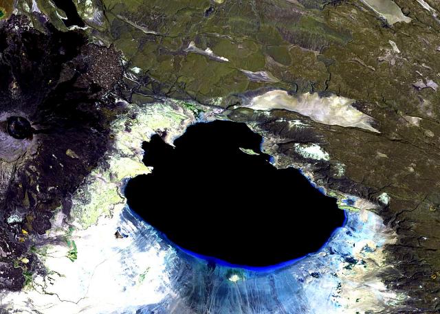
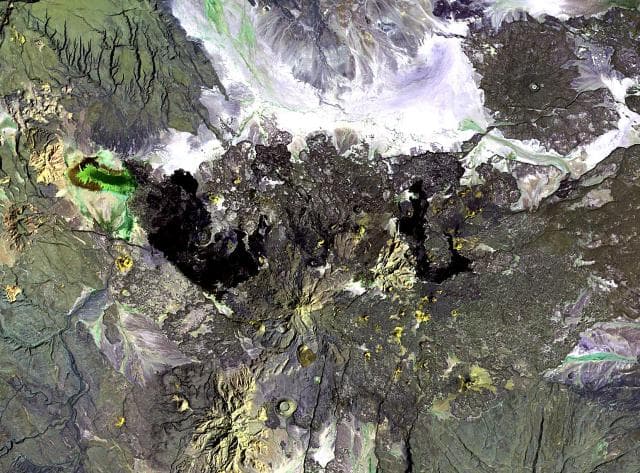
Borawli is located in Ethiopia, within the Afar Rift Volcanic Province of the broader Eastern Africa Volcanic Regions. Situated at 11.63° N, 41.45° E in the Northern Hemisphere, the volcano lies within a tropical climate zone. With a summit elevation of 875 meters above sea level, Borawli is a moderately sized peak that remains accessible to hikers and researchers for much of the year. The volcanic landform is characterized as a minor, which describes the physical shape and structure of the volcanic edifice as observed from the surface.
GVP Reference Summary
This dome complex, one of several in Ethiopia named Borawli, consists of a group of rhyolitic lava domes on the floor of the southern Kali plain, NE of the town of Aisa Aita. A 1631 eruption (sometimes listed as 1627) attributed possibly to Amado dome (United Nations, 1973) was considered more likely to be from Dama Ali (Gouin, 1979). The southernmost lava flow dates from the Pleistocene, as K-Ar dated by Lahitte et al. (2003) around 0.49 Ma.
— Smithsonian Institution, Global Volcanism Program
0 Recorded Eruptions
No eruption records available for Borawli.
Real-Time Data
Frequently Asked Questions About Borawli
Is Borawli an active volcano?+
Borawli is not currently classified as active. Its activity evidence is listed as "unknown." No recorded eruptions have been documented. However, no volcano is ever considered permanently extinct.
How high is Borawli?+
Borawli has a summit elevation of 875 meters (2,871 feet) above sea level. At 875 meters, it is a relatively low-elevation volcano.
What type of volcano is Borawli?+
Borawli is classified as a Lava dome(s). Lava domes are mounds of viscous lava that pile up around a volcanic vent. They grow by expansion from within and can collapse to produce dangerous pyroclastic flows.
Where is Borawli located?+
Borawli is located in Ethiopia, in the Eastern Africa Volcanic Regions. More specifically, it lies within the Afar Rift Volcanic Province. Its exact coordinates are 11.630° latitude, 41.450° longitude.
Is it safe to visit Borawli?+
Borawli can generally be visited, but as with any volcano, visitors should check local conditions and any advisory notices before traveling. Ethiopia may have specific regulations for accessing volcanic areas. Guided tours are often the safest and most informative way to experience a volcano.