About Matutum
Matutum is a stratovolcano rising to 2,262 meters (7,422 feet) in Philippines's Western Pacific Volcanic Regions. Its last known eruption was in 1290 CE. The volcano has produced 4 recorded eruptions.
Geography & Climate
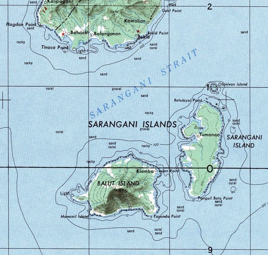
Matutum is located in Philippines, within the Mindanao Volcanic Province of the broader Western Pacific Volcanic Regions. Situated at 6.36° N, 125.08° E in the Northern Hemisphere, the volcano lies within a tropical climate zone. At 2,262 meters above sea level, Matutum rises above the surrounding terrain into montane or subalpine conditions. The elevation creates distinct ecological zones along its flanks, from forested lower slopes to exposed rocky terrain near the summit. The volcanic landform is characterized as a composite, which describes the physical shape and structure of the volcanic edifice as observed from the surface.
Geological Context
Matutum sits in a subduction zone, where one tectonic plate dives beneath another, creating intense heat and pressure that generates magma. Subduction zones are responsible for many of the world's most explosive volcanoes and deadliest eruptions. For communities in Philippines near Matutum, this tectonic setting means the volcano is capable of producing powerful explosive eruptions, pyroclastic flows, and lahars that can threaten populated areas within tens of kilometers of the summit. The dominant rock type is andesite / basaltic andesite, a dark, fine-grained volcanic rock that forms from rapidly cooling, low-viscosity lava. Basaltic eruptions tend to be less explosive and produce fluid lava flows that can travel long distances. While less immediately dangerous than explosive eruptions, basaltic lava flows can destroy structures and infrastructure in their path, and volcanic gases released during these eruptions can affect air quality over a wide area.
Eruption History Summary
Matutum has 4 recorded eruptions in the geological database, spanning from 400 BCE to 1911 CE. These eruptions span roughly 2,311 years of volcanic history. The most recent eruption in 1911 CE places this volcano within the modern era of volcanological observation.
GVP Reference Summary
The symmetrical Matutum stratovolcano overlooks the city of General Santos in southern Mindanao, NW of Sarangani Bay, Philippines. The summit of the andesitic-to-dacitic volcano is truncated by a 320-m-wide crater that is breached by three gorges and has a 120-m-deep, densely forested floor. Widespread silicic pyroclastic flow deposits surround the volcano; the youngest were dated at about 2,000 years BP. A report stated that Matutum was "smoking" on 7 March 1911 (Neumann van Padang, 1953). The Akmoan and Lianan thermal areas are located on the WSW flank of the volcano.
— Smithsonian Institution, Global Volcanism Program
4 Recorded Eruptions
| Year | VEI | Type | Area |
|---|---|---|---|
| 1911 | — | Uncertain Eruption | — |
| 1290 | — | Confirmed Eruption | — |
| 170 BCE | — | Confirmed Eruption | — |
| 400 BCE | — | Confirmed Eruption | — |
Real-Time Data
Frequently Asked Questions About Matutum
Is Matutum an active volcano?+
Matutum is not currently classified as active. Its activity evidence is listed as "Eruption Dated." The last known eruption was in 1290 CE. However, no volcano is ever considered permanently extinct.
When did Matutum last erupt?+
The most recent recorded eruption of Matutum occurred in 1911 CE. The eruption was classified as a "Uncertain Eruption." Matutum has 4 recorded eruptions in total.
How high is Matutum?+
Matutum has a summit elevation of 2,262 meters (7,422 feet) above sea level. At 2,262 meters, it is comparable in height to many significant mountain peaks and stands well above the tree line.
What type of volcano is Matutum?+
Matutum is classified as a Stratovolcano. Stratovolcanoes (also called composite volcanoes) are steep, conical volcanoes built up by many layers of hardened lava, tephra, and volcanic ash. They are among the most common and dangerous types, known for explosive eruptions.
Where is Matutum located?+
Matutum is located in Philippines, in the Western Pacific Volcanic Regions. More specifically, it lies within the Mindanao Volcanic Province. Its exact coordinates are 6.360° latitude, 125.076° longitude.
Is it safe to visit Matutum?+
Matutum can generally be visited, but as with any volcano, visitors should check local conditions and any advisory notices before traveling. Philippines may have specific regulations for accessing volcanic areas. Guided tours are often the safest and most informative way to experience a volcano.