About Kendang
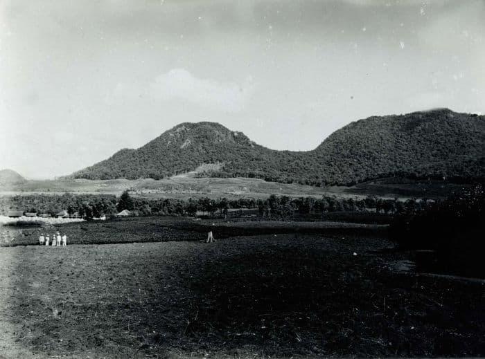
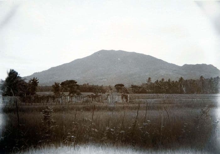
Kendang is a stratovolcano rising to 2,594 meters (8,511 feet) in Indonesia's Sunda-Banda Volcanic Regions. No historical eruptions have been recorded, though the volcano is classified based on geological evidence of past activity.
Geography & Climate
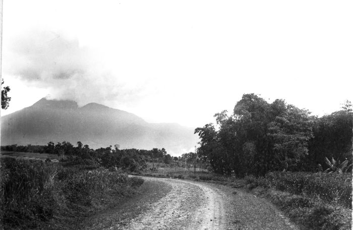
Kendang is located in Indonesia, within the Sunda Volcanic Arc of the broader Sunda-Banda Volcanic Regions. Situated at 7.25° S, 107.71° E in the Southern Hemisphere, the volcano lies within a tropical climate zone. At 2,594 meters above sea level, Kendang rises above the surrounding terrain into montane or subalpine conditions. The elevation creates distinct ecological zones along its flanks, from forested lower slopes to exposed rocky terrain near the summit. The volcanic landform is characterized as a composite, which describes the physical shape and structure of the volcanic edifice as observed from the surface.
GVP Reference Summary
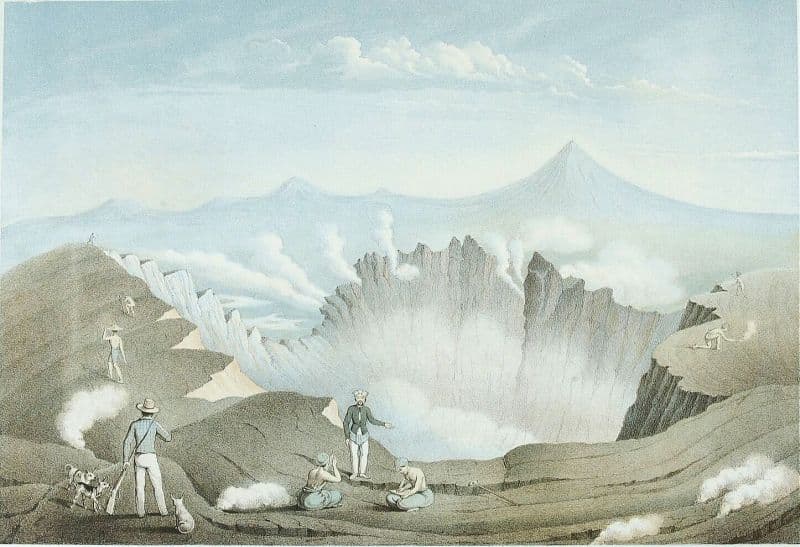
Gunung Kendang is located ~9 km N of Papandayan volcano at the N end of a volcanic massif, and is associated with Darajang geothermal reservoir on the E flank and along the Kendang fault, which extends NE to the Kawah Kamojang geothermal field. There are four fumarole fields, the most prominent of which is Kawah Manuk, located in a broad 2.75-km-wide depression; thermal activity consists of fumaroles with sulfur sublimation, mud pots, and hot water pools with occasional mild water ejections. The latest eruptions produced the Kiamis rhyolitic lava dome and obsidian lava flows, 2 km NE of Darajat, characterized as "Recent" by Whittome and Salveson (1990). Mapping of the Darajat area and stratigraphic interpretations by Intani et al. (2021) found Plio-Pleistocene Kendang volcanics, Rakutak pyroclastics, and Gagak volcanics, followed by Pleistocene Kamasan volcanics, dacite domes, and Kiamis volcanics; no Holocene deposits were noted.
— Smithsonian Institution, Global Volcanism Program
0 Recorded Eruptions
No eruption records available for Kendang.
Real-Time Data
Frequently Asked Questions About Kendang
Is Kendang an active volcano?+
Kendang is not currently classified as active. Its activity evidence is listed as "unknown." No recorded eruptions have been documented. However, no volcano is ever considered permanently extinct.
How high is Kendang?+
Kendang has a summit elevation of 2,594 meters (8,511 feet) above sea level. At 2,594 meters, it is comparable in height to many significant mountain peaks and stands well above the tree line.
What type of volcano is Kendang?+
Kendang is classified as a Stratovolcano. Stratovolcanoes (also called composite volcanoes) are steep, conical volcanoes built up by many layers of hardened lava, tephra, and volcanic ash. They are among the most common and dangerous types, known for explosive eruptions.
Where is Kendang located?+
Kendang is located in Indonesia, in the Sunda-Banda Volcanic Regions. More specifically, it lies within the Sunda Volcanic Arc. Its exact coordinates are -7.245° latitude, 107.709° longitude.
Is it safe to visit Kendang?+
Kendang can generally be visited, but as with any volcano, visitors should check local conditions and any advisory notices before traveling. Indonesia may have specific regulations for accessing volcanic areas. Guided tours are often the safest and most informative way to experience a volcano.