Doma Peaks
Stratovolcano · 3,568m · Papua New Guinea
About Doma Peaks
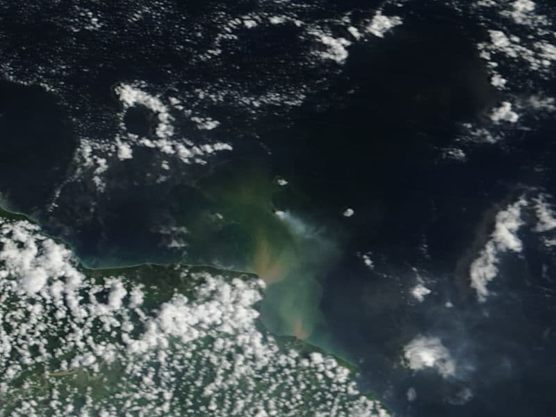
Doma Peaks is a stratovolcano rising to 3,568 meters (11,707 feet) in Papua New Guinea's Southwestern Pacific Volcanic Regions. No historical eruptions have been recorded, though the volcano is classified based on geological evidence of past activity.
Geography & Climate
Doma Peaks is located in Papua New Guinea, within the Eastern New Guinea Volcanic Province of the broader Southwestern Pacific Volcanic Regions. Situated at 5.90° S, 143.15° E in the Southern Hemisphere, the volcano lies within a tropical climate zone. Standing at 3,568 meters above sea level, Doma Peaks towers above the alpine zone, where vegetation gives way to bare rock, snow, and ice for much of the year. The high elevation means the upper slopes experience significantly colder temperatures than surrounding lowlands. The volcanic landform is characterized as a composite, which describes the physical shape and structure of the volcanic edifice as observed from the surface.
GVP Reference Summary
The Doma Peaks, at the western end of a volcanic chain in the highlands of Papua New Guinea, are dominated by two westward-facing escarpments of probable landslide origin. Satellite cones and lava domes occur on the NE and S flanks of the dominantly andesitic volcano. There is no evidence for magmatic eruptions within the last few hundred or possibly few thousand years (Mackenzie and Johnson, 1984). A reported eruption within the past few hundred years was actually from Long Island, and an older lahar mentioned by Blong (1979) was not accompanied by any significant tephra production (Blong, 1982).
— Smithsonian Institution, Global Volcanism Program
0 Recorded Eruptions
No eruption records available for Doma Peaks.
Real-Time Data
Frequently Asked Questions About Doma Peaks
Is Doma Peaks an active volcano?+
Doma Peaks is not currently classified as active. Its activity evidence is listed as "unknown." No recorded eruptions have been documented. However, no volcano is ever considered permanently extinct.
How high is Doma Peaks?+
Doma Peaks has a summit elevation of 3,568 meters (11,707 feet) above sea level. At 3,568 meters, it is comparable in height to many significant mountain peaks and stands well above the tree line.
What type of volcano is Doma Peaks?+
Doma Peaks is classified as a Stratovolcano. Stratovolcanoes (also called composite volcanoes) are steep, conical volcanoes built up by many layers of hardened lava, tephra, and volcanic ash. They are among the most common and dangerous types, known for explosive eruptions.
Where is Doma Peaks located?+
Doma Peaks is located in Papua New Guinea, in the Southwestern Pacific Volcanic Regions. More specifically, it lies within the Eastern New Guinea Volcanic Province. Its exact coordinates are -5.900° latitude, 143.150° longitude.
Is it safe to visit Doma Peaks?+
Doma Peaks can generally be visited, but as with any volcano, visitors should check local conditions and any advisory notices before traveling. Papua New Guinea may have specific regulations for accessing volcanic areas. Guided tours are often the safest and most informative way to experience a volcano.