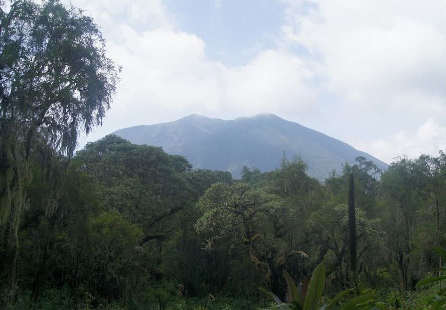
About Mugogo
Mugogo is a cone rising to 2,338 meters (7,671 feet) in DR Congo's Eastern Africa Volcanic Regions. It last erupted in 1957 CE, and volcanologists consider it an active volcanic system. The volcano has produced 1 recorded eruption, with a maximum Volcanic Explosivity Index (VEI) of 1.
Geography & Climate
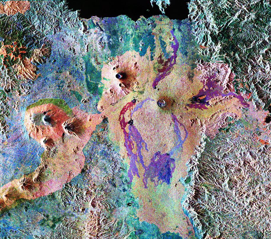
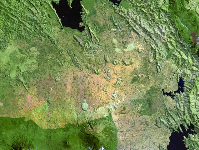
Mugogo is located in DR Congo, within the Albertine Rift Volcanic Province of the broader Eastern Africa Volcanic Regions. Situated at 1.37° S, 29.48° E in the Southern Hemisphere, the volcano lies within a tropical climate zone. At 2,338 meters above sea level, Mugogo rises above the surrounding terrain into montane or subalpine conditions. The elevation creates distinct ecological zones along its flanks, from forested lower slopes to exposed rocky terrain near the summit. The volcanic landform is characterized as a minor, which describes the physical shape and structure of the volcanic edifice as observed from the surface.
Geological Context
Mugogo is situated along a rift zone, where tectonic plates are pulling apart. As the crust thins and fractures, magma rises to fill the gap, creating volcanic activity. Rift volcanism typically produces more fluid lava flows rather than explosive blasts, which means communities near Mugogo in DR Congo generally face slower-moving hazards like lava flows and ground fissures rather than sudden pyroclastic events. However, rift volcanoes can still generate significant ash emissions and gas releases that affect local air quality.
Eruption History Summary
Mugogo has 1 recorded eruption in the geological database, spanning from 1957 CE to 1957 CE. The most powerful recorded event was a gentle, effusive event in 1957 CE, reaching VEI 1 on the Volcanic Explosivity Index. The most recent eruption in 1957 CE places this volcano within the modern era of volcanological observation.
GVP Reference Summary
The small Mugogo cone was built during a 1957 eruption. Although initially thought to be a flank vent related to the Visoke stratovolcano, ~11 km S, geochemical analysis by Condomines et al. (2015) found that the lava flows were more similar to Nyamulagira and Nyiragongo to the W, rather than Visoke.
— Smithsonian Institution, Global Volcanism Program
1 Recorded Eruption
| Year | VEI | Type | Area |
|---|---|---|---|
| 1957 | 1 | Confirmed Eruption | — |
Real-Time Data
Frequently Asked Questions About Mugogo
Is Mugogo an active volcano?+
Mugogo is not currently classified as active. Its activity evidence is listed as "unknown." The last known eruption was in 1957 CE. However, no volcano is ever considered permanently extinct.
When did Mugogo last erupt?+
The most recent recorded eruption of Mugogo occurred in 1957 CE with a Volcanic Explosivity Index (VEI) of 1. The eruption was classified as a "Confirmed Eruption." Mugogo has 1 recorded eruption in total.
How high is Mugogo?+
Mugogo has a summit elevation of 2,338 meters (7,671 feet) above sea level. At 2,338 meters, it is comparable in height to many significant mountain peaks and stands well above the tree line.
What type of volcano is Mugogo?+
Mugogo is classified as a Cone. Cone volcanoes have distinct geological characteristics that set them apart from other volcanic types.
Where is Mugogo located?+
Mugogo is located in DR Congo, in the Eastern Africa Volcanic Regions. More specifically, it lies within the Albertine Rift Volcanic Province. Its exact coordinates are -1.369° latitude, 29.480° longitude.
Is it safe to visit Mugogo?+
Mugogo can generally be visited, but as with any volcano, visitors should check local conditions and any advisory notices before traveling. DR Congo may have specific regulations for accessing volcanic areas. Guided tours are often the safest and most informative way to experience a volcano.