About Lautaro
Lautaro is a stratovolcano rising to 3,542 meters (11,621 feet) in Chile's South America Volcanic Regions. It last erupted in 1979 CE, and volcanologists consider it an active volcanic system. The volcano has produced 10 recorded eruptions, with a maximum Volcanic Explosivity Index (VEI) of 2.
Geography & Climate
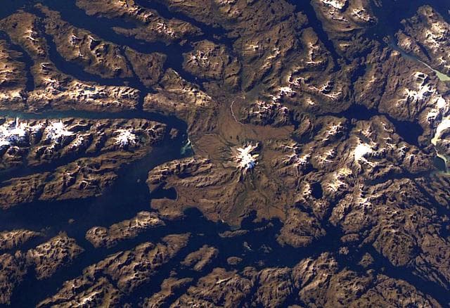
Lautaro is located in Chile, within the Austral Andean Volcanic Arc of the broader South America Volcanic Regions. Situated at 49.02° S, 73.50° W in the Southern Hemisphere, the volcano lies within a temperate climate zone. Standing at 3,542 meters above sea level, Lautaro towers above the alpine zone, where vegetation gives way to bare rock, snow, and ice for much of the year. The high elevation means the upper slopes experience significantly colder temperatures than surrounding lowlands. The volcanic landform is characterized as a composite, which describes the physical shape and structure of the volcanic edifice as observed from the surface.
Geological Context
Lautaro sits in a subduction zone, where one tectonic plate dives beneath another, creating intense heat and pressure that generates magma. Subduction zones are responsible for many of the world's most explosive volcanoes and deadliest eruptions. For communities in Chile near Lautaro, this tectonic setting means the volcano is capable of producing powerful explosive eruptions, pyroclastic flows, and lahars that can threaten populated areas within tens of kilometers of the summit. The dominant rock type is dacite, an intermediate to silica-rich volcanic rock. This composition typically produces more viscous magma, leading to more explosive eruptions with ash columns and pyroclastic flows. Andesitic and dacitic magmas build pressure before erupting, which is why volcanoes with this rock chemistry are often associated with Plinian-style eruptions that can send ash tens of kilometers into the atmosphere and disrupt aviation across entire regions.
Eruption History Summary
Lautaro has 10 recorded eruptions in the geological database, spanning from 1876 CE to 1979 CE. The most powerful recorded event was an explosive event producing ash plumes up to several kilometers in 1979 CE, reaching VEI 2 on the Volcanic Explosivity Index. This level of eruptive frequency indicates a persistently active volcanic system that warrants ongoing monitoring. The most recent eruption in 1979 CE places this volcano within the modern era of volcanological observation.
Significance
With 10 recorded eruptions, Lautaro has a substantial eruptive history that provides valuable data for understanding volcanic behavior and assessing future hazards in the South America Volcanic Regions region. Given its recent activity, Lautaro is closely monitored by geological survey organizations to provide early warning of future unrest.
GVP Reference Summary
Lautaro is the northernmost volcano of the Austral Volcanic Zone (AVZ) in the southernmost Chilean Andes, and is the closest volcano to the Chile Triple Junction plate boundary. Volcanoes of the AVZ originated from subduction of the Antarctic plate beneath the South American plate. The Catalog of Active Volcanoes of the World synonyms for Lautaro (Cerro Pirámide, Chalten, and Chaltel) are actually synonyms of the dramatic Patagonian granitic peak of Cerro Fitz Roy (Moreno 1985, pers. comm.). Glacier-covered and rising above the Southern Patagonian Ice Field, this dominantly dacitic volcano has a crater just below its summit on the NW side and a 1-km-wide crater on the NE flank. Ash deposits from eruptions were visible on aerial photos taken during several occasions during the 20th century, and older ash layers form prominent markers on outflow glaciers of the Patagonian icecap.
— Smithsonian Institution, Global Volcanism Program
10 Recorded Eruptions
| Year | VEI | Type | Area |
|---|---|---|---|
| 1979 | 2 | Confirmed Eruption | — |
| 1978 | 1 | Confirmed Eruption | — |
| 1972 | 1 | Confirmed Eruption | — |
| 1961 | 2 | Confirmed Eruption | Volcano Uncertain: aerial observation; possibly Lautaro |
| 1959 | 2 | Confirmed Eruption | — |
| 1945 | 1 | Confirmed Eruption | — |
| 1933 | 2 | Confirmed Eruption | — |
| 1879 | — | Confirmed Eruption | Volcano Uncertain: Between lakes San Martín and Viedma |
| 1878 | 1 | Uncertain Eruption | — |
| 1876 | 2 | Confirmed Eruption | — |
Real-Time Data
Frequently Asked Questions About Lautaro
Is Lautaro an active volcano?+
Yes, Lautaro is considered an active volcano. Its most recent eruption was in 1979 CE. The volcano is monitored by geological agencies, and its activity status is based on observed eruptions within recorded history.
When did Lautaro last erupt?+
The most recent recorded eruption of Lautaro occurred in 1979 CE with a Volcanic Explosivity Index (VEI) of 2. The eruption was classified as a "Confirmed Eruption." Lautaro has 10 recorded eruptions in total.
How high is Lautaro?+
Lautaro has a summit elevation of 3,542 meters (11,621 feet) above sea level. At 3,542 meters, it is comparable in height to many significant mountain peaks and stands well above the tree line.
What type of volcano is Lautaro?+
Lautaro is classified as a Stratovolcano. Stratovolcanoes (also called composite volcanoes) are steep, conical volcanoes built up by many layers of hardened lava, tephra, and volcanic ash. They are among the most common and dangerous types, known for explosive eruptions.
Where is Lautaro located?+
Lautaro is located in Chile, in the South America Volcanic Regions. More specifically, it lies within the Austral Andean Volcanic Arc. Its exact coordinates are -49.019° latitude, -73.504° longitude.
Is it safe to visit Lautaro?+
Visiting Lautaro requires checking current volcanic activity and alert levels. As an active volcano with eruptions as recent as 1979 CE, conditions can change rapidly. Always consult local geological authorities and follow official warnings before visiting. Many active volcanoes have designated safe viewing areas and guided tour options.