About Ticsani
Ticsani is a lava dome(s) rising to 5,382 meters (17,658 feet) in Peru's South America Volcanic Regions. Its last known eruption was in 1800 CE. The volcano has produced 1 recorded eruption.
Geography & Climate
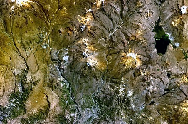
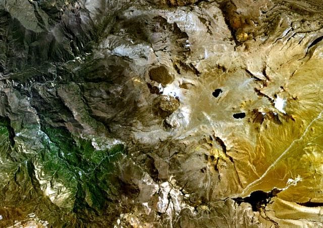
Ticsani is located in Peru, within the Central Andean Volcanic Arc of the broader South America Volcanic Regions. Situated at 16.76° S, 70.60° W in the Southern Hemisphere, the volcano lies within a tropical climate zone. At 5,382 meters above sea level, Ticsani reaches well into the permanent snow and ice zone. Glaciers and snowpack on the upper slopes create the potential for lahars — destructive volcanic mudflows — during eruptions, as heat rapidly melts ice and snow. The volcanic landform is characterized as a minor (silicic), which describes the physical shape and structure of the volcanic edifice as observed from the surface.
Geological Context
Ticsani sits in a subduction zone, where one tectonic plate dives beneath another, creating intense heat and pressure that generates magma. Subduction zones are responsible for many of the world's most explosive volcanoes and deadliest eruptions. For communities in Peru near Ticsani, this tectonic setting means the volcano is capable of producing powerful explosive eruptions, pyroclastic flows, and lahars that can threaten populated areas within tens of kilometers of the summit. The dominant rock type is dacite, an intermediate to silica-rich volcanic rock. This composition typically produces more viscous magma, leading to more explosive eruptions with ash columns and pyroclastic flows. Andesitic and dacitic magmas build pressure before erupting, which is why volcanoes with this rock chemistry are often associated with Plinian-style eruptions that can send ash tens of kilometers into the atmosphere and disrupt aviation across entire regions.
Eruption History Summary
Ticsani has 1 recorded eruption in the geological database, spanning from 1800 CE to 1800 CE.
GVP Reference Summary
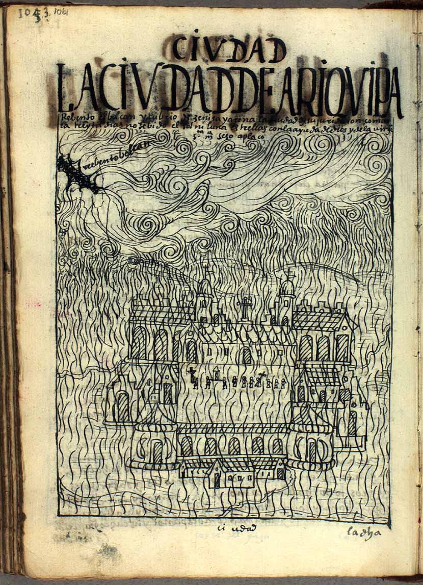
Ticsani is a dacitic lava dome complex in the Ichuna district of Peru, about 30 km SE of Huaynaputina volcano. Volcán Ticsani resembles Huaynaputina in its dacitic composition and explosive eruptive style. Both lie about 50 km behind the main volcanic front of the Peruvian Andes. A fresh-looking lava field lies at the NW base of the youthful-looking, unglaciated edifice. A major debris avalanche partially filled the Río Tambo to the south. Emplacement of three lava domes since the end of the Pleistocene was accompanied by explosive eruptions. No historical eruptions are known, but fumarolic activity continues, and pumice from the crater containing the youngest lava dome overlies tephra from the 1600 CE Huaynaputina eruption.
— Smithsonian Institution, Global Volcanism Program
1 Recorded Eruption
| Year | VEI | Type | Area |
|---|---|---|---|
| 1800 | — | Confirmed Eruption | — |
Real-Time Data
Frequently Asked Questions About Ticsani
Is Ticsani an active volcano?+
Ticsani is not currently classified as active. Its activity evidence is listed as "Eruption Dated." The last known eruption was in 1800 CE. However, no volcano is ever considered permanently extinct.
When did Ticsani last erupt?+
The most recent recorded eruption of Ticsani occurred in 1800 CE. The eruption was classified as a "Confirmed Eruption." Ticsani has 1 recorded eruption in total.
How high is Ticsani?+
Ticsani has a summit elevation of 5,382 meters (17,658 feet) above sea level. At 5,382 meters, it stands taller than Mount Rainier (4,392m) and is among the world's major volcanic peaks.
What type of volcano is Ticsani?+
Ticsani is classified as a Lava dome(s). Lava domes are mounds of viscous lava that pile up around a volcanic vent. They grow by expansion from within and can collapse to produce dangerous pyroclastic flows.
Where is Ticsani located?+
Ticsani is located in Peru, in the South America Volcanic Regions. More specifically, it lies within the Central Andean Volcanic Arc. Its exact coordinates are -16.759° latitude, -70.598° longitude.
Is it safe to visit Ticsani?+
Ticsani can generally be visited, but as with any volcano, visitors should check local conditions and any advisory notices before traveling. Peru may have specific regulations for accessing volcanic areas. Guided tours are often the safest and most informative way to experience a volcano.