About Yeguada, La
Yeguada, La is a stratovolcano rising to 1,297 meters (4,255 feet) in Panama's Middle America-Caribbean Volcanic Regions. No historical eruptions have been recorded, though the volcano is classified based on geological evidence of past activity.
Geography & Climate
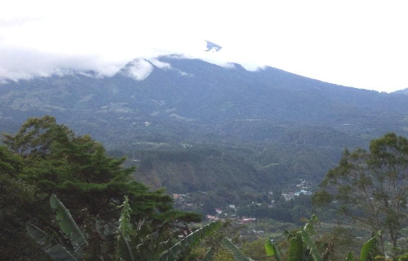
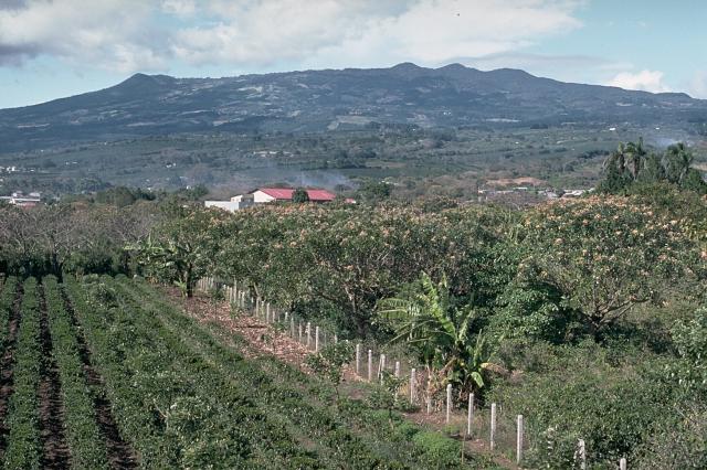
Yeguada, La is located in Panama, within the Central America Volcanic Arc of the broader Middle America-Caribbean Volcanic Regions. Situated at 8.47° N, 80.82° W in the Northern Hemisphere, the volcano lies within a tropical climate zone. With a summit elevation of 1,297 meters above sea level, Yeguada, La is a moderately sized peak that remains accessible to hikers and researchers for much of the year. The volcanic landform is characterized as a composite, which describes the physical shape and structure of the volcanic edifice as observed from the surface.
GVP Reference Summary
La Yeguada, also known as Chitra-Calobre, is a massive volcanic complex in west-central Panamá north of the Azuero Peninsula that was active from the Miocene into the Quaternary. The youngest major feature of La Yeguada is located within a large fault-bounded horst that forms the high point of the volcanic complex east of Laguna La Yeguada. The latest eruptions took place from the northern part of the horst about 220,000 years ago at Cerro Corero lava dome (also known as Cerro de la Charca), north of El Castillo. The youngest feature of the La Yeguada complex is the Media Luna cinder cone, which was erupted through Tertiary ignimbrite deposits at the NW side of the complex. The oldest peat layer within a small lake dammed by a basaltic lava flow originating from the cone was radiocarbon dated at about 300-350 years ago, but later dating has shown that flow was erupted about 45,000 years ago, and that the La Yeguada complex has not had Holocene eruptions. Warm springs are scattered throughout the complex, and the Chitra-Calobre geothermal field is one of three areas in Panamá that have been the object of intensive geothermal exploration.
— Smithsonian Institution, Global Volcanism Program
0 Recorded Eruptions
No eruption records available for Yeguada, La.
Real-Time Data
Frequently Asked Questions About Yeguada, La
Is Yeguada, La an active volcano?+
Yeguada, La is not currently classified as active. Its activity evidence is listed as "unknown." No recorded eruptions have been documented. However, no volcano is ever considered permanently extinct.
How high is Yeguada, La?+
Yeguada, La has a summit elevation of 1,297 meters (4,255 feet) above sea level. At 1,297 meters, it is a moderately sized volcanic peak, roughly comparable to Mount Vesuvius (1,281m).
What type of volcano is Yeguada, La?+
Yeguada, La is classified as a Stratovolcano. Stratovolcanoes (also called composite volcanoes) are steep, conical volcanoes built up by many layers of hardened lava, tephra, and volcanic ash. They are among the most common and dangerous types, known for explosive eruptions.
Where is Yeguada, La located?+
Yeguada, La is located in Panama, in the Middle America-Caribbean Volcanic Regions. More specifically, it lies within the Central America Volcanic Arc. Its exact coordinates are 8.470° latitude, -80.820° longitude.
Is it safe to visit Yeguada, La?+
Yeguada, La can generally be visited, but as with any volcano, visitors should check local conditions and any advisory notices before traveling. Panama may have specific regulations for accessing volcanic areas. Guided tours are often the safest and most informative way to experience a volcano.