About Turrialba
Turrialba is a stratovolcano rising to 3,340 meters (10,959 feet) in Costa Rica's Middle America-Caribbean Volcanic Regions. The volcano is currently active, with its most recent eruption in 2022 CE. The volcano has produced 20 recorded eruptions, with a maximum Volcanic Explosivity Index (VEI) of 3.
Geography & Climate
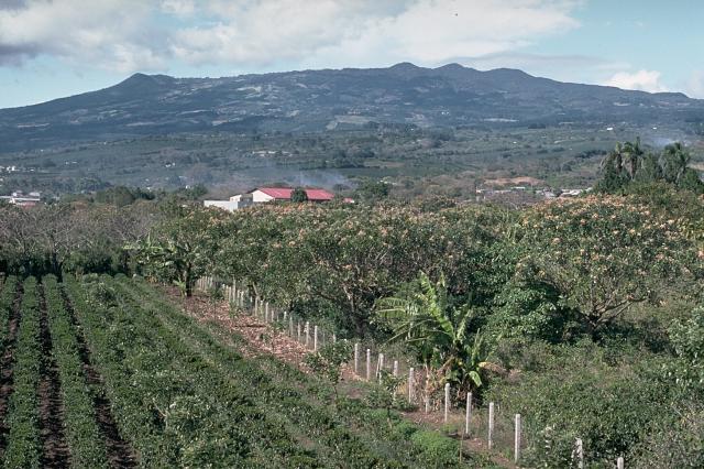
Turrialba is located in Costa Rica, within the Central America Volcanic Arc of the broader Middle America-Caribbean Volcanic Regions. Situated at 10.03° N, 83.77° W in the Northern Hemisphere, the volcano lies within a tropical climate zone. At 3,340 meters above sea level, Turrialba rises above the surrounding terrain into montane or subalpine conditions. The elevation creates distinct ecological zones along its flanks, from forested lower slopes to exposed rocky terrain near the summit. The volcanic landform is characterized as a composite, which describes the physical shape and structure of the volcanic edifice as observed from the surface.
Geological Context
Turrialba sits in a subduction zone, where one tectonic plate dives beneath another, creating intense heat and pressure that generates magma. Subduction zones are responsible for many of the world's most explosive volcanoes and deadliest eruptions. For communities in Costa Rica near Turrialba, this tectonic setting means the volcano is capable of producing powerful explosive eruptions, pyroclastic flows, and lahars that can threaten populated areas within tens of kilometers of the summit. The dominant rock type is andesite / basaltic andesite, a dark, fine-grained volcanic rock that forms from rapidly cooling, low-viscosity lava. Basaltic eruptions tend to be less explosive and produce fluid lava flows that can travel long distances. While less immediately dangerous than explosive eruptions, basaltic lava flows can destroy structures and infrastructure in their path, and volcanic gases released during these eruptions can affect air quality over a wide area.
Eruption History Summary
Turrialba has 20 recorded eruptions in the geological database, spanning from 640 CE to 2022 CE. The most powerful recorded event was a severe eruption capable of regional ash fall and pyroclastic flows in 2015 CE, reaching VEI 3 on the Volcanic Explosivity Index. Notable eruptions include 2015 CE (VEI 3), 1866 CE (VEI 3). With an average interval of roughly 69 years between eruptions over a span of 1,382 years, this is one of the more frequently active volcanoes in the database. This persistent activity suggests a robust and well-supplied magma system beneath the volcano. With eruptive activity as recently as 2022 CE, Turrialba remains an actively monitored volcano.
Significance
With a maximum recorded VEI of 3, Turrialba has produced eruptions capable of generating pyroclastic flows and significant ash fall in the surrounding area. While not among the largest eruptions globally, VEI 3 events pose serious hazards to local populations and can disrupt regional air travel. Its 20 recorded eruptions make it one of the most prolific volcanoes in our database, reflecting a persistent and well-documented eruptive history that has provided volcanologists with extensive data for understanding eruption patterns and forecasting future activity. Given its recent activity, Turrialba is closely monitored by geological survey organizations to provide early warning of future unrest.
GVP Reference Summary
Turrialba, the easternmost of Costa Rica's Holocene volcanoes, is a large vegetated basaltic-to-dacitic stratovolcano located across a broad saddle NE of Irazú volcano overlooking the city of Cartago. The massive edifice covers an area of 500 km2. Three well-defined craters occur at the upper SW end of a broad 800 x 2200 m summit depression that is breached to the NE. Most activity originated from the summit vent complex, but two pyroclastic cones are located on the SW flank. Five major explosive eruptions have occurred during the past 3500 years. A series of explosive eruptions during the 19th century were sometimes accompanied by pyroclastic flows. Fumarolic activity continues at the central and SW summit craters.
— Smithsonian Institution, Global Volcanism Program
20 Recorded Eruptions
| Year | VEI | Type | Area |
|---|---|---|---|
| 2022 | 1 | Confirmed Eruption | — |
| 2021 | 1 | Confirmed Eruption | — |
| 2021 | 1 | Confirmed Eruption | — |
| 2020 | 1 | Confirmed Eruption | — |
| 2015 | 3 | Confirmed Eruption | Cráter Central, Cráter Oeste |
| 2014 | 2 | Confirmed Eruption | West Crater |
| 2013 | 1 | Confirmed Eruption | West Crater |
| 2012 | 2 | Confirmed Eruption | West Crater (SE flank) |
| 2011 | 1 | Confirmed Eruption | West Crater |
| 2010 | 2 | Confirmed Eruption | SW crater |
| 2010 | 2 | Uncertain Eruption | — |
| 1866 | 3 | Confirmed Eruption | Central and SW summit craters |
| 1864 | 2 | Confirmed Eruption | Central and SW summit craters |
| 1861 | — | Uncertain Eruption | — |
| 1855 | 2 | Confirmed Eruption | — |
| 1853 | 2 | Confirmed Eruption | — |
| 1847 | — | Uncertain Eruption | — |
| 1723 | 1 | Uncertain Eruption | — |
| 1350 | — | Confirmed Eruption | — |
| 640 | — | Confirmed Eruption | — |
Real-Time Data
Frequently Asked Questions About Turrialba
Is Turrialba an active volcano?+
Yes, Turrialba is considered an active volcano. Its most recent eruption was in 2022 CE. The volcano is monitored by geological agencies, and its activity status is based on observed eruptions within recorded history.
When did Turrialba last erupt?+
The most recent recorded eruption of Turrialba occurred in 2022 CE with a Volcanic Explosivity Index (VEI) of 1. The eruption was classified as a "Confirmed Eruption." Turrialba has 20 recorded eruptions in total.
How high is Turrialba?+
Turrialba has a summit elevation of 3,340 meters (10,959 feet) above sea level. At 3,340 meters, it is comparable in height to many significant mountain peaks and stands well above the tree line.
What type of volcano is Turrialba?+
Turrialba is classified as a Stratovolcano. Stratovolcanoes (also called composite volcanoes) are steep, conical volcanoes built up by many layers of hardened lava, tephra, and volcanic ash. They are among the most common and dangerous types, known for explosive eruptions.
Where is Turrialba located?+
Turrialba is located in Costa Rica, in the Middle America-Caribbean Volcanic Regions. More specifically, it lies within the Central America Volcanic Arc. Its exact coordinates are 10.025° latitude, -83.767° longitude.
Is it safe to visit Turrialba?+
Visiting Turrialba requires checking current volcanic activity and alert levels. As an active volcano with eruptions as recent as 2022 CE, conditions can change rapidly. Always consult local geological authorities and follow official warnings before visiting. Many active volcanoes have designated safe viewing areas and guided tour options.