About Hood
Hood is a stratovolcano rising to 3,426 meters (11,241 feet) in United States's North America Volcanic Regions. Its last known eruption was in 1866 CE. The volcano has produced 8 recorded eruptions, with a maximum Volcanic Explosivity Index (VEI) of 2.
Geography & Climate
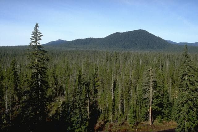
Hood is located in United States, within the High Cascades Volcanic Arc of the broader North America Volcanic Regions. Situated at 45.37° N, 121.69° W in the Northern Hemisphere, the volcano lies within a temperate climate zone. At 3,426 meters above sea level, Hood rises above the surrounding terrain into montane or subalpine conditions. The elevation creates distinct ecological zones along its flanks, from forested lower slopes to exposed rocky terrain near the summit. The volcanic landform is characterized as a composite, which describes the physical shape and structure of the volcanic edifice as observed from the surface.
Geological Context
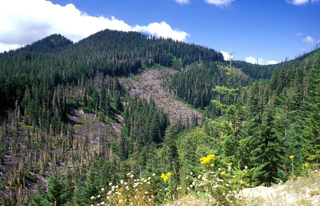
Hood sits in a subduction zone, where one tectonic plate dives beneath another, creating intense heat and pressure that generates magma. Subduction zones are responsible for many of the world's most explosive volcanoes and deadliest eruptions. For communities in United States near Hood, this tectonic setting means the volcano is capable of producing powerful explosive eruptions, pyroclastic flows, and lahars that can threaten populated areas within tens of kilometers of the summit. The dominant rock type is andesite / basaltic andesite, a dark, fine-grained volcanic rock that forms from rapidly cooling, low-viscosity lava. Basaltic eruptions tend to be less explosive and produce fluid lava flows that can travel long distances. While less immediately dangerous than explosive eruptions, basaltic lava flows can destroy structures and infrastructure in their path, and volcanic gases released during these eruptions can affect air quality over a wide area.
Eruption History Summary
Hood has 8 recorded eruptions in the geological database, spanning from 4940 BCE to 1869 CE. The most powerful recorded event was an explosive event producing ash plumes up to several kilometers in 1865 CE, reaching VEI 2 on the Volcanic Explosivity Index. This eruption frequency indicates a moderately active volcanic system with periodic reawakenings.
Significance
With 8 recorded eruptions on file, Hood has enough documented activity to help scientists identify patterns in its eruptive behavior.
GVP Reference Summary
Mount Hood, Oregon's highest peak, forms a prominent backdrop to the city of Portland. The eroded summit area consists of several andesitic or dacitic lava domes. Major Pleistocene edifice collapse produced a debris avalanche and lahar that traveled north down the Hood River valley and crossed the Columbia River. The glacially eroded volcano has had at least three major eruptive periods during the past 15,000 years. The last two occurred within the past 1,800 years from the central vent high on the SW flank and produced deposits that were distributed primarily to the south and west along the Sandy and Zigzag rivers. The last major eruptive period took place beginning in 1781 CE, when growth of the Crater Rock lava dome was accompanied by pyroclastic flows and lahars down the White and Sandy rivers. The Sandy River lahar deposits extended to the west as far as the Columbia River and were observed by members of the 1804-1805 Lewis and Clark expedition shortly after their emplacement. Minor 19th-century eruptions were witnessed from Portland.
— Smithsonian Institution, Global Volcanism Program
8 Recorded Eruptions
| Year | VEI | Type | Area |
|---|---|---|---|
| 1869 | — | Uncertain Eruption | — |
| 1865 | 2 | Confirmed Eruption | — |
| 1859 | 2 | Confirmed Eruption | — |
| 1854 | — | Uncertain Eruption | — |
| 1853 | — | Uncertain Eruption | — |
| 1781 | — | Confirmed Eruption | Crater Rock |
| 480 | — | Confirmed Eruption | Crater Rock |
| 4940 BCE | 2 | Confirmed Eruption | Lower NE flank (SSW of Parkdale) |
Real-Time Data
Frequently Asked Questions About Hood
Is Hood an active volcano?+
Hood is classified as active based on credible evidence of past eruptions. Although its last known eruption was in 1866 CE, volcanologists consider it capable of erupting again.
When did Hood last erupt?+
The most recent recorded eruption of Hood occurred in 1869 CE. The eruption was classified as a "Uncertain Eruption." Hood has 8 recorded eruptions in total.
How high is Hood?+
Hood has a summit elevation of 3,426 meters (11,241 feet) above sea level. At 3,426 meters, it is comparable in height to many significant mountain peaks and stands well above the tree line.
What type of volcano is Hood?+
Hood is classified as a Stratovolcano. Stratovolcanoes (also called composite volcanoes) are steep, conical volcanoes built up by many layers of hardened lava, tephra, and volcanic ash. They are among the most common and dangerous types, known for explosive eruptions.
Where is Hood located?+
Hood is located in United States, in the North America Volcanic Regions. More specifically, it lies within the High Cascades Volcanic Arc. Its exact coordinates are 45.374° latitude, -121.695° longitude.
Is it safe to visit Hood?+
Hood can generally be visited, but as with any volcano, visitors should check local conditions and any advisory notices before traveling. United States may have specific regulations for accessing volcanic areas. Guided tours are often the safest and most informative way to experience a volcano.