About Gademota Caldera
Gademota Caldera is a caldera rising to 2,090 meters (6,857 feet) in Ethiopia's Eastern Africa Volcanic Regions. No historical eruptions have been recorded, though the volcano is classified based on geological evidence of past activity.
Geography & Climate
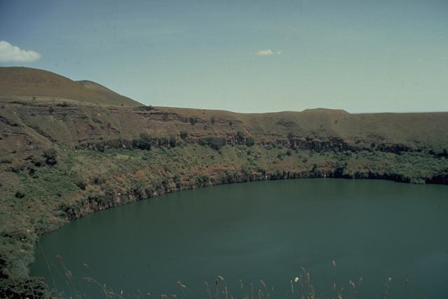
Gademota Caldera is located in Ethiopia, within the Main Ethiopian Rift Volcanic Province of the broader Eastern Africa Volcanic Regions. Situated at 7.88° N, 38.60° E in the Northern Hemisphere, the volcano lies within a tropical climate zone. At 2,090 meters above sea level, Gademota Caldera rises above the surrounding terrain into montane or subalpine conditions. The elevation creates distinct ecological zones along its flanks, from forested lower slopes to exposed rocky terrain near the summit. The volcanic landform is characterized as a caldera, which describes the physical shape and structure of the volcanic edifice as observed from the surface.
GVP Reference Summary
Potassium-Argon date 1.27 million years ago (WoldeGabriel 1987, pers. comm.).
— Smithsonian Institution, Global Volcanism Program
0 Recorded Eruptions
No eruption records available for Gademota Caldera.
Real-Time Data
Frequently Asked Questions About Gademota Caldera
Is Gademota Caldera an active volcano?+
Gademota Caldera is not currently classified as active. Its activity evidence is listed as "unknown." No recorded eruptions have been documented. However, no volcano is ever considered permanently extinct.
How high is Gademota Caldera?+
Gademota Caldera has a summit elevation of 2,090 meters (6,857 feet) above sea level. At 2,090 meters, it is comparable in height to many significant mountain peaks and stands well above the tree line.
What type of volcano is Gademota Caldera?+
Gademota Caldera is classified as a Caldera. Calderas are large volcanic depressions formed when a volcano erupts so powerfully that its magma chamber collapses, creating a basin that can be kilometers wide. They are often sites of some of Earth's largest eruptions.
Where is Gademota Caldera located?+
Gademota Caldera is located in Ethiopia, in the Eastern Africa Volcanic Regions. More specifically, it lies within the Main Ethiopian Rift Volcanic Province. Its exact coordinates are 7.880° latitude, 38.600° longitude.
Is it safe to visit Gademota Caldera?+
Gademota Caldera can generally be visited, but as with any volcano, visitors should check local conditions and any advisory notices before traveling. Ethiopia may have specific regulations for accessing volcanic areas. Guided tours are often the safest and most informative way to experience a volcano.