About Roundtop
Roundtop is a stratovolcano rising to 1,871 meters (6,139 feet) in United States's North America Volcanic Regions. The volcano is currently active, with its most recent eruption in 7600 BCE. The volcano has produced 1 recorded eruption, with a maximum Volcanic Explosivity Index (VEI) of 5.
Geography & Climate
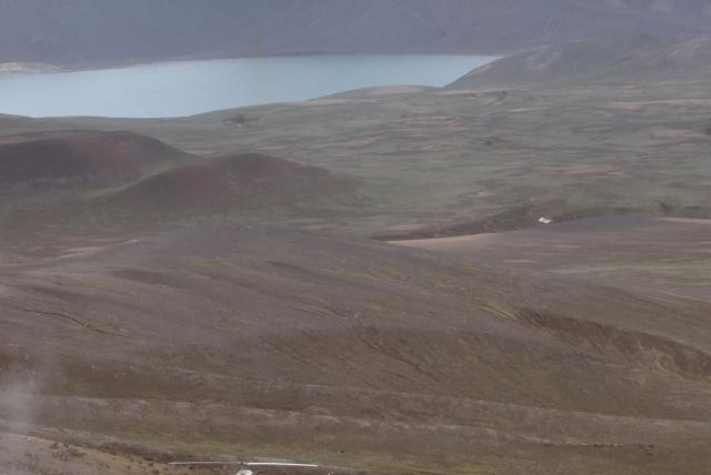
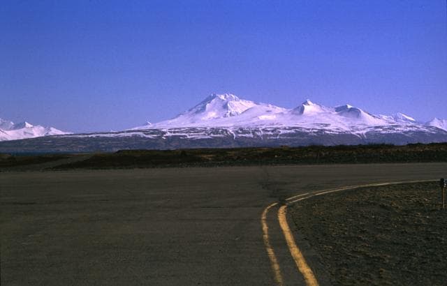
Roundtop is located in United States, within the Aleutian Ridge Volcanic Arc of the broader North America Volcanic Regions. Situated at 54.80° N, 163.59° W in the Northern Hemisphere, the volcano lies within a temperate climate zone. With a summit elevation of 1,871 meters above sea level, Roundtop is a moderately sized peak that remains accessible to hikers and researchers for much of the year. The volcanic landform is characterized as a composite, which describes the physical shape and structure of the volcanic edifice as observed from the surface.
Geological Context
Roundtop sits in a subduction zone, where one tectonic plate dives beneath another, creating intense heat and pressure that generates magma. Subduction zones are responsible for many of the world's most explosive volcanoes and deadliest eruptions. For communities in United States near Roundtop, this tectonic setting means the volcano is capable of producing powerful explosive eruptions, pyroclastic flows, and lahars that can threaten populated areas within tens of kilometers of the summit. The dominant rock type is rhyolite, a silica-rich volcanic rock associated with highly viscous magma. Rhyolitic eruptions can be extremely explosive and are responsible for some of the largest volcanic events in Earth's history, including supervolcanic caldera-forming eruptions. The high silica content traps dissolved gases, building enormous pressure that can lead to catastrophic explosive releases.
Eruption History Summary
Roundtop has 1 recorded eruption in the geological database, spanning from 7600 BCE to 7600 BCE. The most powerful recorded event was a paroxysmal eruption with devastating regional consequences in 7600 BCE, reaching VEI 5 on the Volcanic Explosivity Index.
Significance
With a maximum recorded VEI of 5, Roundtop has demonstrated the capacity for paroxysmal eruptions comparable to the 1980 eruption of Mount St. Helens. Eruptions of this scale can devastate areas within 20-30 kilometers and produce ash fall that disrupts aviation and agriculture across hundreds of kilometers.
GVP Reference Summary
The flat-topped, glacier-covered Roundtop is the easternmost and lowest of an E-W-trending line of volcanoes on eastern Unimak Island, 13 km SW of the village of False Pass. The snow and ice-covered edifice fills much of a 3-km-wide caldera that formed during the early Holocene. The caldera-forming eruption produced pyroclastic flows and a rhyolitic tephra layer that is widespread throughout the southwestern end of the Alaska Peninsula. A group of lava domes was constructed south of the volcano. No historical eruptions are known, but in the 1930's warm springs were found on its slopes.
— Smithsonian Institution, Global Volcanism Program
1 Recorded Eruption
| Year | VEI | Type | Area |
|---|---|---|---|
| 7600 BCE | 5 | Confirmed Eruption | — |
Real-Time Data
Frequently Asked Questions About Roundtop
Is Roundtop an active volcano?+
Roundtop is not currently classified as active. Its activity evidence is listed as "Eruption Dated." The last known eruption was in 7600 BCE. However, no volcano is ever considered permanently extinct.
When did Roundtop last erupt?+
The most recent recorded eruption of Roundtop occurred in 7600 BCE with a Volcanic Explosivity Index (VEI) of 5. The eruption was classified as a "Confirmed Eruption." Roundtop has 1 recorded eruption in total.
How high is Roundtop?+
Roundtop has a summit elevation of 1,871 meters (6,139 feet) above sea level. At 1,871 meters, it is a moderately sized volcanic peak, roughly comparable to Mount Vesuvius (1,281m).
What type of volcano is Roundtop?+
Roundtop is classified as a Stratovolcano. Stratovolcanoes (also called composite volcanoes) are steep, conical volcanoes built up by many layers of hardened lava, tephra, and volcanic ash. They are among the most common and dangerous types, known for explosive eruptions.
Where is Roundtop located?+
Roundtop is located in United States, in the North America Volcanic Regions. More specifically, it lies within the Aleutian Ridge Volcanic Arc. Its exact coordinates are 54.800° latitude, -163.589° longitude.
Is it safe to visit Roundtop?+
Roundtop can generally be visited, but as with any volcano, visitors should check local conditions and any advisory notices before traveling. United States may have specific regulations for accessing volcanic areas. Guided tours are often the safest and most informative way to experience a volcano.