About Suretamatai
Suretamatai is a complex rising to 921 meters (3,022 feet) in Vanuatu's Southwestern Pacific Volcanic Regions. It last erupted in 1966 CE, and volcanologists consider it an active volcanic system. The volcano has produced 4 recorded eruptions, with a maximum Volcanic Explosivity Index (VEI) of 2.
Geography & Climate
Suretamatai is located in Vanuatu, within the Vanuatu Volcanic Arc of the broader Southwestern Pacific Volcanic Regions. Situated at 13.80° S, 167.47° E in the Southern Hemisphere, the volcano lies within a tropical climate zone. With a summit elevation of 921 meters above sea level, Suretamatai is a moderately sized peak that remains accessible to hikers and researchers for much of the year. The volcanic landform is characterized as a composite, which describes the physical shape and structure of the volcanic edifice as observed from the surface.
Geological Context
Suretamatai sits in a subduction zone, where one tectonic plate dives beneath another, creating intense heat and pressure that generates magma. Subduction zones are responsible for many of the world's most explosive volcanoes and deadliest eruptions. For communities in Vanuatu near Suretamatai, this tectonic setting means the volcano is capable of producing powerful explosive eruptions, pyroclastic flows, and lahars that can threaten populated areas within tens of kilometers of the summit. The dominant rock type is andesite / basaltic andesite, a dark, fine-grained volcanic rock that forms from rapidly cooling, low-viscosity lava. Basaltic eruptions tend to be less explosive and produce fluid lava flows that can travel long distances. While less immediately dangerous than explosive eruptions, basaltic lava flows can destroy structures and infrastructure in their path, and volcanic gases released during these eruptions can affect air quality over a wide area.
Eruption History Summary
Suretamatai has 4 recorded eruptions in the geological database, spanning from 1841 CE to 1965 CE. The most powerful recorded event was an explosive event producing ash plumes up to several kilometers in 1965 CE, reaching VEI 2 on the Volcanic Explosivity Index. These eruptions span roughly 124 years of volcanic history. The most recent eruption in 1965 CE places this volcano within the modern era of volcanological observation.
GVP Reference Summary
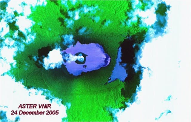
Suretamatai volcano (also known as Soritimeat) forms much of Vanua Lava Island, one of the largest of Vanuatu's Banks Islands. The younger lavas overlie a number of small older stratovolcanoes that form the island. In contrast to other large volcanoes of Vanuatu, the dominantly basaltic-to-andesitic Suretamatai does not contain a youthful summit caldera. A chain of small stratovolcanoes oriented along a NNE-SSW line gives the low-angle volcano an irregular profile. The youngest cone, near the northern end of the chain, is the largest and contains a lake of variable depth within its 900-m-wide, 100-m-deep summit crater. Activity reported during the 19th century consisted of moderate explosive eruptions.
— Smithsonian Institution, Global Volcanism Program
4 Recorded Eruptions
| Year | VEI | Type | Area |
|---|---|---|---|
| 1965 | 2 | Confirmed Eruption | NW flank |
| 1861 | 2 | Confirmed Eruption | — |
| 1856 | 2 | Confirmed Eruption | — |
| 1841 | — | Uncertain Eruption | — |
Real-Time Data
Frequently Asked Questions About Suretamatai
Is Suretamatai an active volcano?+
Yes, Suretamatai is considered an active volcano. Its most recent eruption was in 1966 CE. The volcano is monitored by geological agencies, and its activity status is based on observed eruptions within recorded history.
When did Suretamatai last erupt?+
The most recent recorded eruption of Suretamatai occurred in 1965 CE with a Volcanic Explosivity Index (VEI) of 2. The eruption was classified as a "Confirmed Eruption." Suretamatai has 4 recorded eruptions in total.
How high is Suretamatai?+
Suretamatai has a summit elevation of 921 meters (3,022 feet) above sea level. At 921 meters, it is a relatively low-elevation volcano.
What type of volcano is Suretamatai?+
Suretamatai is classified as a Complex. Complex volcanoes have distinct geological characteristics that set them apart from other volcanic types.
Where is Suretamatai located?+
Suretamatai is located in Vanuatu, in the Southwestern Pacific Volcanic Regions. More specifically, it lies within the Vanuatu Volcanic Arc. Its exact coordinates are -13.800° latitude, 167.470° longitude.
Is it safe to visit Suretamatai?+
Visiting Suretamatai requires checking current volcanic activity and alert levels. As an active volcano with eruptions as recent as 1966 CE, conditions can change rapidly. Always consult local geological authorities and follow official warnings before visiting. Many active volcanoes have designated safe viewing areas and guided tour options.