About Toh, Tarso
Toh, Tarso is a volcanic field rising to 2,000 meters (6,562 feet) in Chad's Northern Africa Volcanic Regions. No historical eruptions have been recorded, though the volcano is classified based on geological evidence of past activity.
Geography & Climate
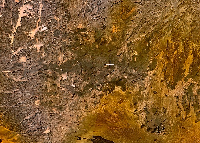
Toh, Tarso is located in Chad, within the East Central Sahara Volcanic Province of the broader Northern Africa Volcanic Regions. Situated at 21.33° N, 16.33° E in the Northern Hemisphere, the volcano lies within a tropical climate zone. With a summit elevation of 2,000 meters above sea level, Toh, Tarso is a moderately sized peak that remains accessible to hikers and researchers for much of the year. The volcanic landform is characterized as a cluster, which describes the physical shape and structure of the volcanic edifice as observed from the surface.
Geological Context
Toh, Tarso is an intraplate volcano, meaning it formed away from any plate boundary. These volcanoes are often powered by hotspots — plumes of abnormally hot mantle material rising from deep within the Earth. Hotspot volcanoes like Toh, Tarso tend to produce effusive eruptions with lava flows that can be relatively predictable, giving nearby communities in Chad more time to prepare. However, they can also produce explosive phases, particularly when magma interacts with groundwater. The dominant rock type is basalt / picro-basalt, a dark, fine-grained volcanic rock that forms from rapidly cooling, low-viscosity lava. Basaltic eruptions tend to be less explosive and produce fluid lava flows that can travel long distances. While less immediately dangerous than explosive eruptions, basaltic lava flows can destroy structures and infrastructure in their path, and volcanic gases released during these eruptions can affect air quality over a wide area.
GVP Reference Summary
The Tarso Tôh Pleistocene-to-Holocene volcanic field in the NW part of the arid Tibesti Range of Chad contains 150 scoria cones and two maars. Basaltic lava flows fill valleys and plains over an area of 80 km in an E-W direction and 20-30 km in a N-S direction in the area north of the more well-known Tarso Toussidé Volcanic Complex. The flows were erupted over a basement of Precambrian schists on the east and Paleozoic sandstones on the west. Sediments within the Begour maar were radiocarbon dated at 8300 +/- 300 years (Hagedorn and Jakel, 1969).
— Smithsonian Institution, Global Volcanism Program
0 Recorded Eruptions
No eruption records available for Toh, Tarso.
Real-Time Data
Frequently Asked Questions About Toh, Tarso
Is Toh, Tarso an active volcano?+
Toh, Tarso is classified as active based on credible evidence of past eruptions. Although its last known eruption was in prehistoric times, volcanologists consider it capable of erupting again.
How high is Toh, Tarso?+
Toh, Tarso has a summit elevation of 2,000 meters (6,562 feet) above sea level. At 2,000 meters, it is a moderately sized volcanic peak, roughly comparable to Mount Vesuvius (1,281m).
What type of volcano is Toh, Tarso?+
Toh, Tarso is classified as a Volcanic field. Volcanic fields consist of clusters of small volcanic vents and cinder cones spread across a region. Rather than a single central vent, eruptions can occur at many points across the field.
Where is Toh, Tarso located?+
Toh, Tarso is located in Chad, in the Northern Africa Volcanic Regions. More specifically, it lies within the East Central Sahara Volcanic Province. Its exact coordinates are 21.330° latitude, 16.330° longitude.
Is it safe to visit Toh, Tarso?+
Toh, Tarso can generally be visited, but as with any volcano, visitors should check local conditions and any advisory notices before traveling. Chad may have specific regulations for accessing volcanic areas. Guided tours are often the safest and most informative way to experience a volcano.


