About Tocorpuri, Cerros de
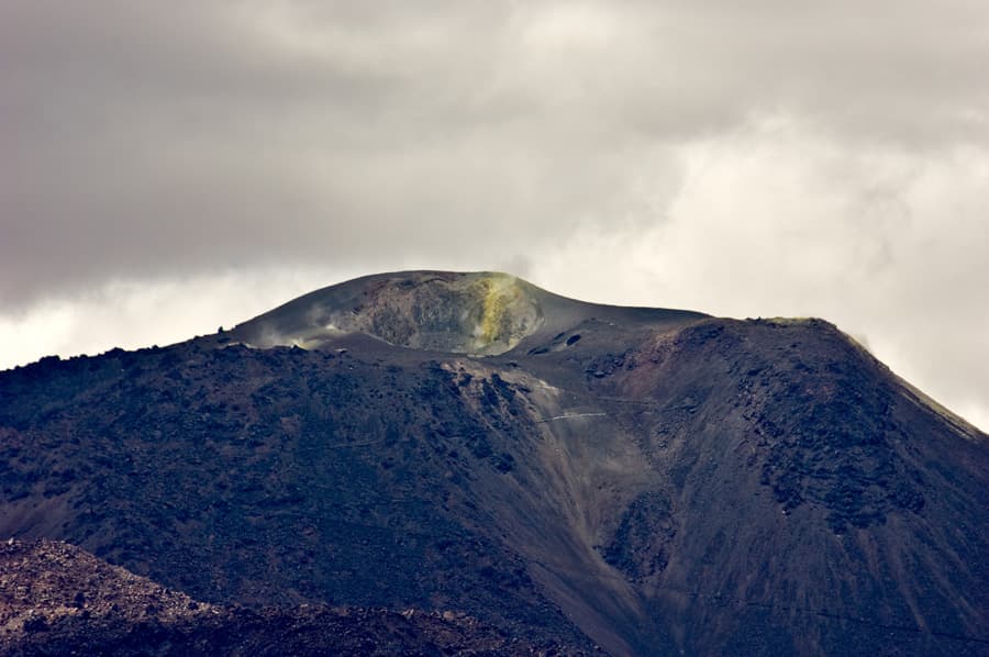
Tocorpuri, Cerros de is a stratovolcano rising to 5,808 meters (19,056 feet) in Chile-Bolivia's South America Volcanic Regions. No historical eruptions have been recorded, though the volcano is classified based on geological evidence of past activity.
Geography & Climate
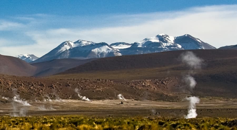
Tocorpuri, Cerros de is located in Chile-Bolivia, within the Central Andean Volcanic Arc of the broader South America Volcanic Regions. Situated at 22.44° S, 67.89° W in the Southern Hemisphere, the volcano lies within a tropical climate zone. At 5,808 meters above sea level, Tocorpuri, Cerros de reaches well into the permanent snow and ice zone. Glaciers and snowpack on the upper slopes create the potential for lahars — destructive volcanic mudflows — during eruptions, as heat rapidly melts ice and snow. The volcanic landform is characterized as a composite, which describes the physical shape and structure of the volcanic edifice as observed from the surface.
GVP Reference Summary
Cerros de Tocorpuri (or Volcán Tocorpuri) is a stratovolcano complex on the Chile-Bolivia border with a youthful-looking rhyolitic lava dome, Cerro la Torta, at its western foot. The international border swings around the eastern rim of a 1.4-km-wide crater that truncates the summit; the crater lies wholly within Chile. It was considered by González-Ferrán (1995) to be of Pleistocene-Holocene age. Cerro la Torta has been considered to be of Holocene age due to its youthful morphology, but its age is not known precisely and Potassium-Argon dating indicates only that it is less than a million years old. Comparison with similar dated domes nearby suggests it is of Pleistocene age (de Silva, 2007 pers. comm.). The circular, roughly 5 km3 Cerro la Torta was erupted from a central vent and is surrounded by a flat-topped surface with wrinkled flow ridges. The flow terminates in steep, talus-covered margins about 150 m high. Lava extrusion was preceded by minor silicic explosive eruptions.
— Smithsonian Institution, Global Volcanism Program
0 Recorded Eruptions
No eruption records available for Tocorpuri, Cerros de.
Real-Time Data
Frequently Asked Questions About Tocorpuri, Cerros de
Is Tocorpuri, Cerros de an active volcano?+
Tocorpuri, Cerros de is not currently classified as active. Its activity evidence is listed as "unknown." No recorded eruptions have been documented. However, no volcano is ever considered permanently extinct.
How high is Tocorpuri, Cerros de?+
Tocorpuri, Cerros de has a summit elevation of 5,808 meters (19,056 feet) above sea level. At 5,808 meters, it stands taller than Mount Rainier (4,392m) and is among the world's major volcanic peaks.
What type of volcano is Tocorpuri, Cerros de?+
Tocorpuri, Cerros de is classified as a Stratovolcano. Stratovolcanoes (also called composite volcanoes) are steep, conical volcanoes built up by many layers of hardened lava, tephra, and volcanic ash. They are among the most common and dangerous types, known for explosive eruptions.
Where is Tocorpuri, Cerros de located?+
Tocorpuri, Cerros de is located in Chile-Bolivia, in the South America Volcanic Regions. More specifically, it lies within the Central Andean Volcanic Arc. Its exact coordinates are -22.439° latitude, -67.888° longitude.
Is it safe to visit Tocorpuri, Cerros de?+
Tocorpuri, Cerros de can generally be visited, but as with any volcano, visitors should check local conditions and any advisory notices before traveling. Chile-Bolivia may have specific regulations for accessing volcanic areas. Guided tours are often the safest and most informative way to experience a volcano.