About Tacora
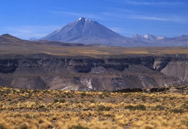
Tacora is a stratovolcano(es) rising to 5,960 meters (19,555 feet) in Chile's South America Volcanic Regions. No historical eruptions have been recorded, though the volcano is classified based on geological evidence of past activity. The volcano has produced 2 recorded eruptions.
Geography & Climate
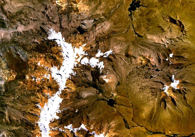
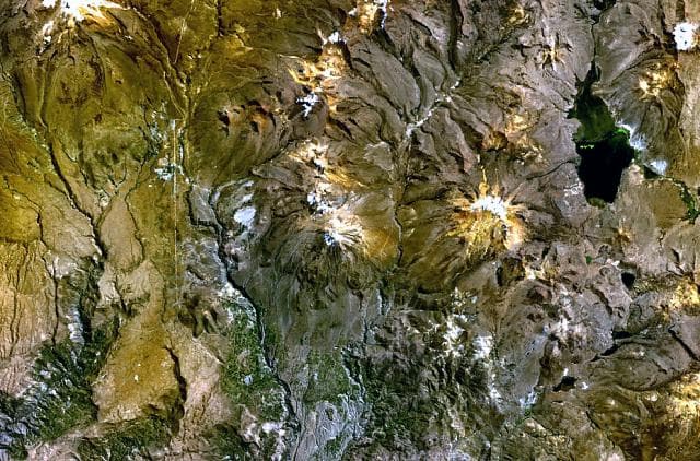
Tacora is located in Chile, within the Central Andean Volcanic Arc of the broader South America Volcanic Regions. Situated at 17.72° S, 69.77° W in the Southern Hemisphere, the volcano lies within a tropical climate zone. At 5,960 meters above sea level, Tacora reaches well into the permanent snow and ice zone. Glaciers and snowpack on the upper slopes create the potential for lahars — destructive volcanic mudflows — during eruptions, as heat rapidly melts ice and snow. The volcanic landform is characterized as a composite, which describes the physical shape and structure of the volcanic edifice as observed from the surface.
Eruption History Summary
Tacora has 2 recorded eruptions in the geological database, spanning from 1930 CE to 1937 CE. These eruptions span roughly 7 years of volcanic history. The most recent eruption in 1937 CE places this volcano within the modern era of volcanological observation.
GVP Reference Summary
The andesitic Tacora volcano is located in northern Chile just S of the border with Peru. It overlies a flat-lying ignimbrite platform forming the Arica Altiplano. About 6 km NNW from the summit the older Chupiquiña is at the end of a line of smaller edifices, with seven distinct peaks, extending N into Peru for ~10 km. Solfataric and fumarolic activity has been reported on the E side of the volcano (Casertano, 1963, CAVW), along with hot springs; sulfur mines are present in the saddle with Chupiquiña. Hantke (1939) cited reports of eruptions in 1930 and 1937 that are not listed in other sources, but Moreno (1985, pers. comm.) did not indicate Holocene eruptions.
— Smithsonian Institution, Global Volcanism Program
2 Recorded Eruptions
| Year | VEI | Type | Area |
|---|---|---|---|
| 1937 | — | Uncertain Eruption | — |
| 1930 | — | Uncertain Eruption | — |
Real-Time Data
Frequently Asked Questions About Tacora
Is Tacora an active volcano?+
Tacora is not currently classified as active. Its activity evidence is listed as "unknown." No recorded eruptions have been documented. However, no volcano is ever considered permanently extinct.
When did Tacora last erupt?+
The most recent recorded eruption of Tacora occurred in 1937 CE. The eruption was classified as a "Uncertain Eruption." Tacora has 2 recorded eruptions in total.
How high is Tacora?+
Tacora has a summit elevation of 5,960 meters (19,555 feet) above sea level. At 5,960 meters, it stands taller than Mount Rainier (4,392m) and is among the world's major volcanic peaks.
What type of volcano is Tacora?+
Tacora is classified as a Stratovolcano(es). Stratovolcano(es) volcanoes have distinct geological characteristics that set them apart from other volcanic types.
Where is Tacora located?+
Tacora is located in Chile, in the South America Volcanic Regions. More specifically, it lies within the Central Andean Volcanic Arc. Its exact coordinates are -17.721° latitude, -69.773° longitude.
Is it safe to visit Tacora?+
Tacora can generally be visited, but as with any volcano, visitors should check local conditions and any advisory notices before traveling. Chile may have specific regulations for accessing volcanic areas. Guided tours are often the safest and most informative way to experience a volcano.