About Galapagos Rift at 86°W
Galapagos Rift at 86°W is a fissure vent(s) rising to -2,430 meters (-7,973 feet) in Ecuador's Eastern Pacific Volcanic Regions. It last erupted in 1996 CE, and volcanologists consider it an active volcanic system. The volcano has produced 2 recorded eruptions.
Geography & Climate
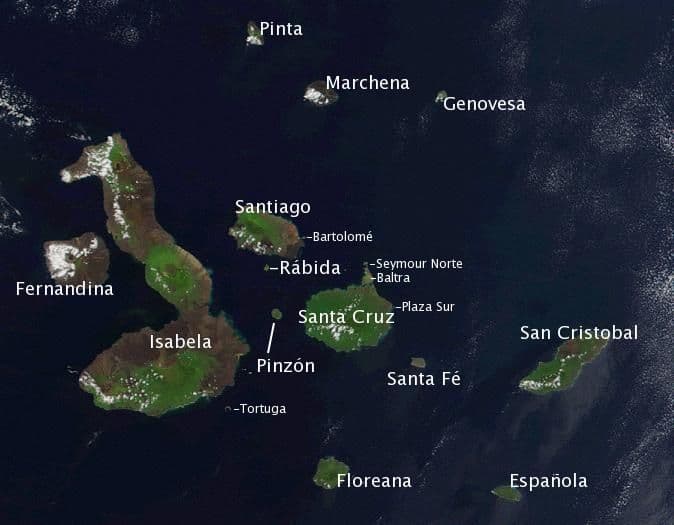
Galapagos Rift at 86°W is located in Ecuador, within the Galapagos Rift Volcanic Province of the broader Eastern Pacific Volcanic Regions. Situated at 0.79° N, 86.15° W in the Northern Hemisphere, the volcano lies within a tropical climate zone. With an elevation of -2,430 meters — below sea level — Galapagos Rift at 86°W is a submarine or submerged volcanic feature. Submarine volcanoes make up the majority of Earth's volcanic activity, though most eruptions go unobserved beneath the ocean surface. The volcanic landform is characterized as a cluster, which describes the physical shape and structure of the volcanic edifice as observed from the surface.
Geological Context
Galapagos Rift at 86°W is situated along a rift zone, where tectonic plates are pulling apart. As the crust thins and fractures, magma rises to fill the gap, creating volcanic activity. Rift volcanism typically produces more fluid lava flows rather than explosive blasts, which means communities near Galapagos Rift at 86°W in Ecuador generally face slower-moving hazards like lava flows and ground fissures rather than sudden pyroclastic events. However, rift volcanoes can still generate significant ash emissions and gas releases that affect local air quality. The dominant rock type is basalt / picro-basalt, a dark, fine-grained volcanic rock that forms from rapidly cooling, low-viscosity lava. Basaltic eruptions tend to be less explosive and produce fluid lava flows that can travel long distances. While less immediately dangerous than explosive eruptions, basaltic lava flows can destroy structures and infrastructure in their path, and volcanic gases released during these eruptions can affect air quality over a wide area.
Eruption History Summary
Galapagos Rift at 86°W has 2 recorded eruptions in the geological database, spanning from 1972 CE to 1996 CE. These eruptions span roughly 24 years of volcanic history. The most recent eruption in 1996 CE places this volcano within the modern era of volcanological observation.
GVP Reference Summary
The Galápagos Rift is an oceanic spreading ridge between the Cocos plate to the north and the Nazca plate to the south. A large area of hydrothermal vents along the crest of the ridge ENE of the Galápagos Islands was discovered in 1977. The location listed here is the position of Clambake vent, which was surrounded by very youthful sediment-free flows of basaltic sheet lava. This position is at the northern limit of the location error circle for a 1972 earthquake swarm and only a few kilometers south of a concurrent fish kill (Macdonald and Mudie, 1974) that may have been associated with extrusion of lava flows. Very fresh, glassy, sediment-free sheet-flow lavas observed during dives near this site in February and March 1977 (Corliss et al., 1979); the morphology of the flows suggested that they were less than 5 years old (Chadwick and Embley, 1994). The rift at this point consists of a small rift valley 3-4 km wide with walls 200-250 m high. A low axial ridge formed by the youngest sediment-free lava flows rises about 20 m above the valley floor, flanked by older marginal ridges. A 2002 expedition discovered evidence for new lava flows covering markers emplaced in 1990.
— Smithsonian Institution, Global Volcanism Program
2 Recorded Eruptions
| Year | VEI | Type | Area |
|---|---|---|---|
| 1996 | 0 | Confirmed Eruption | Rose Garden hydrothermal vent field |
| 1972 | 0 | Confirmed Eruption | Clambake vent area |
Real-Time Data
Frequently Asked Questions About Galapagos Rift at 86°W
Is Galapagos Rift at 86°W an active volcano?+
Yes, Galapagos Rift at 86°W is considered an active volcano. Its most recent eruption was in 1996 CE. The volcano is monitored by geological agencies, and its activity status is based on observed eruptions within recorded history.
When did Galapagos Rift at 86°W last erupt?+
The most recent recorded eruption of Galapagos Rift at 86°W occurred in 1996 CE with a Volcanic Explosivity Index (VEI) of 0. The eruption was classified as a "Confirmed Eruption." Galapagos Rift at 86°W has 2 recorded eruptions in total.
How high is Galapagos Rift at 86°W?+
Galapagos Rift at 86°W has a summit elevation of -2,430 meters (-7,973 feet) above sea level. With an elevation of -2,430 meters (below sea level), this is a submarine or submerged volcanic feature.
What type of volcano is Galapagos Rift at 86°W?+
Galapagos Rift at 86°W is classified as a Fissure vent(s). Fissure vent(s) volcanoes have distinct geological characteristics that set them apart from other volcanic types.
Where is Galapagos Rift at 86°W located?+
Galapagos Rift at 86°W is located in Ecuador, in the Eastern Pacific Volcanic Regions. More specifically, it lies within the Galapagos Rift Volcanic Province. Its exact coordinates are 0.792° latitude, -86.150° longitude.
Is it safe to visit Galapagos Rift at 86°W?+
Visiting Galapagos Rift at 86°W requires checking current volcanic activity and alert levels. As an active volcano with eruptions as recent as 1996 CE, conditions can change rapidly. Always consult local geological authorities and follow official warnings before visiting. Many active volcanoes have designated safe viewing areas and guided tour options.