About Brushy Butte
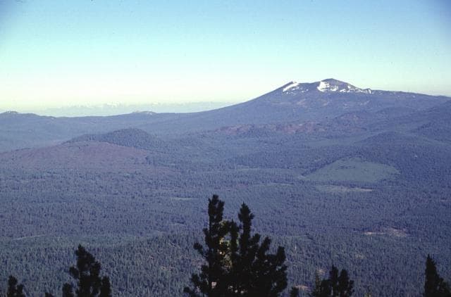
Brushy Butte is a shield rising to 1,168 meters (3,832 feet) in United States's North America Volcanic Regions. No historical eruptions have been recorded, though the volcano is classified based on geological evidence of past activity.
Geography & Climate
Brushy Butte is located in United States, within the Basin and Range Volcanic Province of the broader North America Volcanic Regions. Situated at 41.18° N, 121.44° W in the Northern Hemisphere, the volcano lies within a temperate climate zone. With a summit elevation of 1,168 meters above sea level, Brushy Butte is a moderately sized peak that remains accessible to hikers and researchers for much of the year. The volcanic landform is characterized as a shield, which describes the physical shape and structure of the volcanic edifice as observed from the surface.
GVP Reference Summary
Brushy Butte forms a small shield complex immediately east of Timbered Crater, SSE of the Medicine Lake Highlands. The Brushy Butte complex has produced a broad apron of basaltic lava flows with fresh-looking flow features that extends preferentially down the regional gradient to the south as far as the Falls River valley. Soil development and degree of revegetation suggested a Holocene age similar to that of Hat Creek flow to the south (Peterson and Martin, 1980), and Miller (1989) also mapped Brushy Butte as Holocene. The Hat Creek flow, however, has been dated at 24,000 +/- 6,000 years (Clynne and Muffler, 2010). Brushy Butte flows are overlain by the Giant Crater lava flow from Medicine Lake caldera, which has a calibrated age of 12,430 years BP (Donnelly-Nolan, 2010), and Brushy Butte is considered to have formed between about 12,000 and 25,000 years ago (Smith, 2014 pers. comm.).
— Smithsonian Institution, Global Volcanism Program
0 Recorded Eruptions
No eruption records available for Brushy Butte.
Real-Time Data
Frequently Asked Questions About Brushy Butte
Is Brushy Butte an active volcano?+
Brushy Butte is not currently classified as active. Its activity evidence is listed as "unknown." No recorded eruptions have been documented. However, no volcano is ever considered permanently extinct.
How high is Brushy Butte?+
Brushy Butte has a summit elevation of 1,168 meters (3,832 feet) above sea level. At 1,168 meters, it is a moderately sized volcanic peak, roughly comparable to Mount Vesuvius (1,281m).
What type of volcano is Brushy Butte?+
Brushy Butte is classified as a Shield. Shield volcanoes have distinct geological characteristics that set them apart from other volcanic types.
Where is Brushy Butte located?+
Brushy Butte is located in United States, in the North America Volcanic Regions. More specifically, it lies within the Basin and Range Volcanic Province. Its exact coordinates are 41.178° latitude, -121.445° longitude.
Is it safe to visit Brushy Butte?+
Brushy Butte can generally be visited, but as with any volcano, visitors should check local conditions and any advisory notices before traveling. United States may have specific regulations for accessing volcanic areas. Guided tours are often the safest and most informative way to experience a volcano.