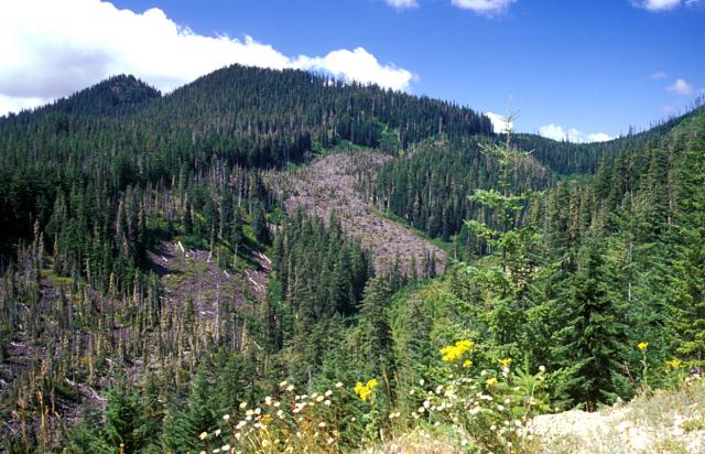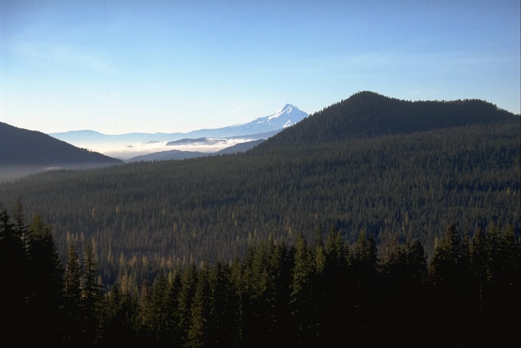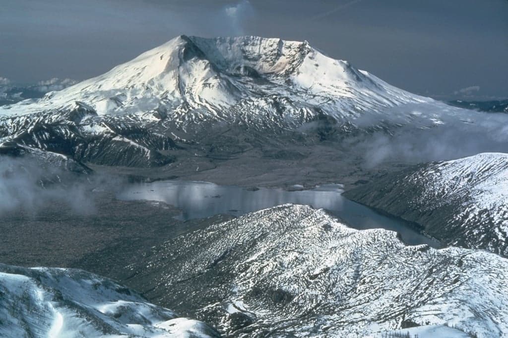
About St. Helens
St. Helens is a stratovolcano rising to 2,549 meters (8,363 feet) in United States's North America Volcanic Regions. It has been active in recent decades, with its last eruption in 2008 CE. The volcano has produced 44 recorded eruptions, with a maximum Volcanic Explosivity Index (VEI) of 6.
Geography & Climate
St. Helens is located in United States, within the High Cascades Volcanic Arc of the broader North America Volcanic Regions. Situated at 46.20° N, 122.18° W in the Northern Hemisphere, the volcano lies within a temperate climate zone. At 2,549 meters above sea level, St. Helens rises above the surrounding terrain into montane or subalpine conditions. The elevation creates distinct ecological zones along its flanks, from forested lower slopes to exposed rocky terrain near the summit. The volcanic landform is characterized as a composite, which describes the physical shape and structure of the volcanic edifice as observed from the surface.
Geological Context
St. Helens sits in a subduction zone, where one tectonic plate dives beneath another, creating intense heat and pressure that generates magma. Subduction zones are responsible for many of the world's most explosive volcanoes and deadliest eruptions. For communities in United States near St. Helens, this tectonic setting means the volcano is capable of producing powerful explosive eruptions, pyroclastic flows, and lahars that can threaten populated areas within tens of kilometers of the summit. The dominant rock type is dacite, an intermediate to silica-rich volcanic rock. This composition typically produces more viscous magma, leading to more explosive eruptions with ash columns and pyroclastic flows. Andesitic and dacitic magmas build pressure before erupting, which is why volcanoes with this rock chemistry are often associated with Plinian-style eruptions that can send ash tens of kilometers into the atmosphere and disrupt aviation across entire regions.
Eruption History Summary
St. Helens has 44 recorded eruptions in the geological database, spanning from 2340 BCE to 2008 CE. The most powerful recorded event was a colossal eruption capable of affecting global climate for years in 1860 BCE, reaching VEI 6 on the Volcanic Explosivity Index. Notable eruptions include 1990 CE (VEI 3), 1980 CE (VEI 5), 1842 CE (VEI 3). With an average interval of roughly 99 years between eruptions over a span of 4,344 years, this is one of the more frequently active volcanoes in the database. This persistent activity suggests a robust and well-supplied magma system beneath the volcano. With eruptive activity as recently as 2008 CE, St. Helens remains an actively monitored volcano.
Significance
St. Helens has produced at least one eruption of VEI 6 or higher, placing it among the most powerful volcanic systems on Earth. Eruptions of this magnitude inject massive quantities of sulfur dioxide into the stratosphere, affecting global climate by lowering average temperatures for one to three years after the event. Its 44 recorded eruptions make it one of the most prolific volcanoes in our database, reflecting a persistent and well-documented eruptive history that has provided volcanologists with extensive data for understanding eruption patterns and forecasting future activity. Given its recent activity, St. Helens is closely monitored by geological survey organizations to provide early warning of future unrest.
GVP Reference Summary
Prior to 1980, Mount St. Helens was a conical volcano sometimes known as the Fujisan of America. During the 1980 eruption the upper 400 m of the summit was removed by slope failure, leaving a 2 x 3.5 km breached crater now partially filled by a lava dome. There have been nine major eruptive periods beginning about 40-50,000 years ago, and it has been the most active volcano in the Cascade Range during the Holocene. Prior to 2,200 years ago, tephra, lava domes, and pyroclastic flows were erupted, forming the older edifice, but few lava flows extended beyond the base of the volcano. The modern edifice consists of basaltic as well as andesitic and dacitic products from summit and flank vents. Eruptions in the 19th century originated from the Goat Rocks area on the N flank, and were witnessed by early settlers.
— Smithsonian Institution, Global Volcanism Program
44 Recorded Eruptions
How St. Helens's 23 size-rated eruptions break down by Volcanic Explosivity Index. Select a bar to see what that size means.
Explosive — ash plumes reaching 1–5 km, localized impact.
Of St. Helens's 23 size-rated eruptions on record, the most common was VEI 2 (10 of 23, 43%). Its record is centred on moderate explosive eruptions (VEI 2–3), with larger events far rarer. The largest on record reached VEI 6.
Based on the Smithsonian GVP eruption record. This describes St. Helens's past eruptions only — it does not predict future activity. What is the VEI? · Most explosive volcanoes
| Year | VEI | Type | Area |
|---|---|---|---|
| 2004 – 2008 | 2 | Confirmed Eruption | South of 1980-1986 lava dome |
| 1990 – 1991 | 3 | Confirmed Eruption | North side of lava dome |
| 1989 – 1990 | 2 | Confirmed Eruption | North side of lava dome |
| 1980 – 1986 | 5 | Confirmed Eruption | Summit and north flank |
| 1921 | — | Uncertain Eruption | — |
| 1903 | — | Uncertain Eruption | — |
| 1898 | — | Uncertain Eruption | — |
| 1857 | 2 | Confirmed Eruption | — |
| 1854 | 2 | Confirmed Eruption | North flank |
| 1853 | 2 | Confirmed Eruption | North flank |
| 1850 | 2 | Confirmed Eruption | North flank |
| 1849 | 2 | Uncertain Eruption | North flank |
| 1848 | 2 | Confirmed Eruption | — |
| 1847 | 2 | Confirmed Eruption | North flank (Goat Rocks) |
| 1842 – 1845 | 3 | Confirmed Eruption | North flank (Goat Rocks) |
| 1835 | 2 | Confirmed Eruption | North flank (Goat Rocks area) |
| 1831 | 3 | Confirmed Eruption | North Flank (Goat Rocks area) |
| 1800 | 5 | Confirmed Eruption | N flank--Goat Rocks area |
| 1610 | — | Confirmed Eruption | Pre-1980 summit dome |
| 1525 | — | Confirmed Eruption | — |
| 1482 | 5 | Confirmed Eruption | — |
| 1480 | 5 | Confirmed Eruption | — |
| 780 | — | Confirmed Eruption | NE flank (Sugar Bowl) |
| 420 | — | Confirmed Eruption | — |
| 270 | — | Confirmed Eruption | — |
| 230 | 0 | Confirmed Eruption | — |
| 190 | — | Confirmed Eruption | Lower E flank (East Dome) |
| 100 | 0 | Confirmed Eruption | SW flank (Cave basalts) |
| 100 BCE | — | Confirmed Eruption | — |
| 220 BCE | — | Confirmed Eruption | NNE flank (Dogs Head) |
| 250 BCE | — | Confirmed Eruption | — |
| 280 BCE | — | Confirmed Eruption | — |
| 530 BCE | 5 | Confirmed Eruption | — |
| 800 BCE | — | Confirmed Eruption | — |
| 830 BCE | — | Confirmed Eruption | — |
| 1010 BCE | — | Confirmed Eruption | — |
| 1100 BCE | — | Confirmed Eruption | — |
| 1180 BCE | — | Confirmed Eruption | — |
| 1610 BCE | — | Confirmed Eruption | — |
| 1680 BCE | — | Confirmed Eruption | — |
| 1770 BCE | 5 | Confirmed Eruption | — |
| 1860 BCE | 6 | Confirmed Eruption | — |
| 2100 BCE | — | Confirmed Eruption | — |
| 2340 BCE | 5 | Confirmed Eruption | — |
Real-Time Data
Frequently Asked Questions About St. Helens
Is St. Helens an active volcano?+
Yes, St. Helens is considered an active volcano. Its most recent eruption was in 2008 CE. The volcano is monitored by geological agencies, and its activity status is based on observed eruptions within recorded history.
When did St. Helens last erupt?+
The most recent recorded eruption of St. Helens began in 2004 CE and continued until 2008 CE with a Volcanic Explosivity Index (VEI) of 2. The eruption was classified as a "Confirmed Eruption." St. Helens has 44 recorded eruptions in total.
How high is St. Helens?+
St. Helens has a summit elevation of 2,549 meters (8,363 feet) above sea level. At 2,549 meters, it is comparable in height to many significant mountain peaks and stands well above the tree line.
What type of volcano is St. Helens?+
St. Helens is classified as a Stratovolcano. Stratovolcanoes (also called composite volcanoes) are steep, conical volcanoes built up by many layers of hardened lava, tephra, and volcanic ash. They are among the most common and dangerous types, known for explosive eruptions.
Where is St. Helens located?+
St. Helens is located in United States, in the North America Volcanic Regions. More specifically, it lies within the High Cascades Volcanic Arc. Its exact coordinates are 46.200° latitude, -122.180° longitude.
Is it safe to visit St. Helens?+
Visiting St. Helens requires checking current volcanic activity and alert levels. As an active volcano with eruptions as recent as 2008 CE, conditions can change rapidly. Always consult local geological authorities and follow official warnings before visiting. Many active volcanoes have designated safe viewing areas and guided tour options.