About Palinuro
Palinuro is a compound rising to -70 meters (-230 feet) in Italy's European Volcanic Regions. The volcano is currently active, with its most recent eruption in 8040 BCE. The volcano has produced 1 recorded eruption.
Geography & Climate
Palinuro is located in Italy, within the Aeolian Volcanic Arc of the broader European Volcanic Regions. Situated at 39.48° N, 14.83° E in the Northern Hemisphere, the volcano lies within a temperate climate zone. With an elevation of -70 meters — below sea level — Palinuro is a submarine or submerged volcanic feature. Submarine volcanoes make up the majority of Earth's volcanic activity, though most eruptions go unobserved beneath the ocean surface. The volcanic landform is characterized as a composite, which describes the physical shape and structure of the volcanic edifice as observed from the surface.
Geological Context
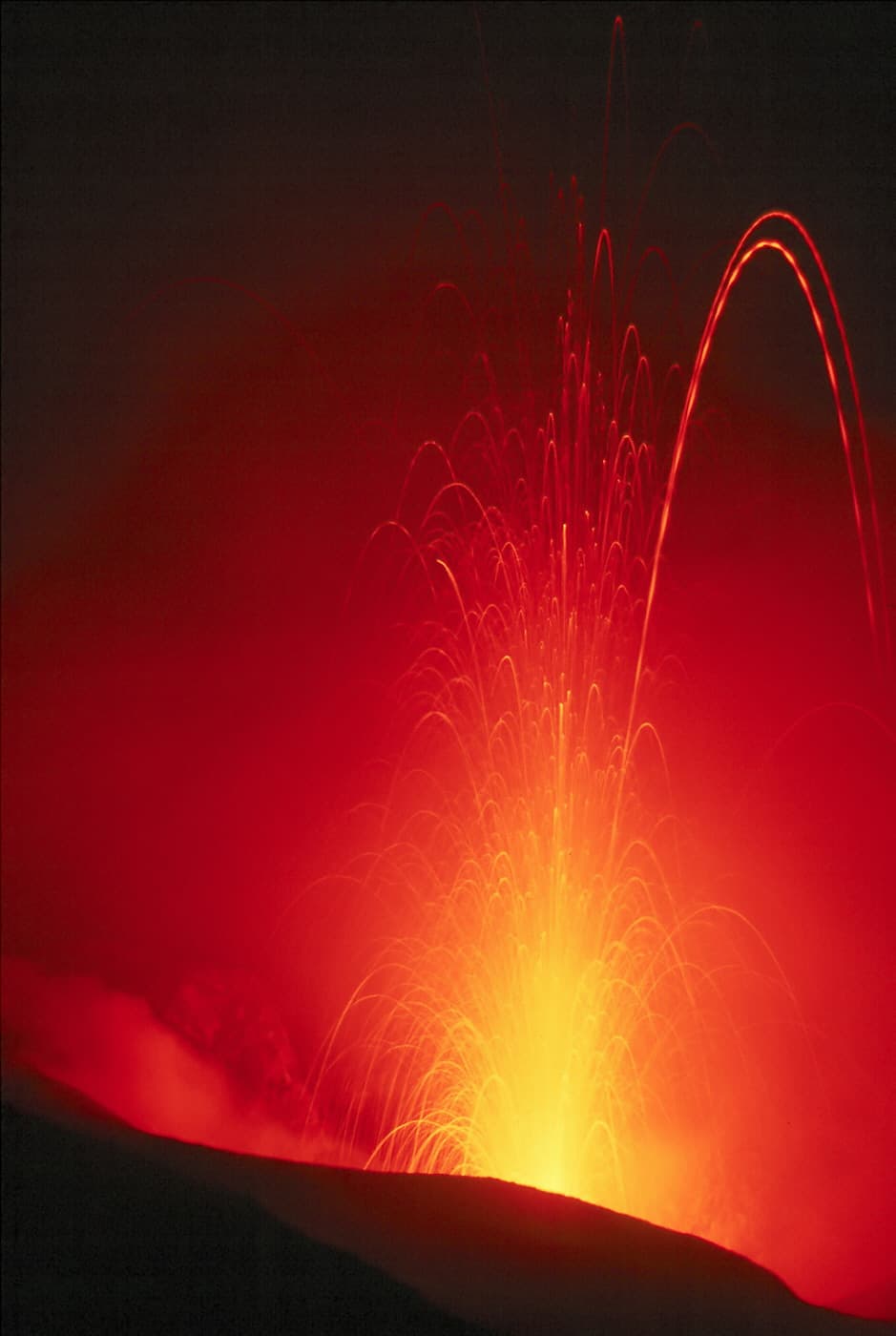
Palinuro sits in a subduction zone, where one tectonic plate dives beneath another, creating intense heat and pressure that generates magma. Subduction zones are responsible for many of the world's most explosive volcanoes and deadliest eruptions. For communities in Italy near Palinuro, this tectonic setting means the volcano is capable of producing powerful explosive eruptions, pyroclastic flows, and lahars that can threaten populated areas within tens of kilometers of the summit. The dominant rock type is phonolite, an alkaline volcanic rock that indicates a distinct magma chemistry linked to unique tectonic conditions. This composition can produce both effusive and explosive eruptions, with magma viscosity depending on specific mineral content and gas concentrations at the time of eruption.
Eruption History Summary
Palinuro has 1 recorded eruption in the geological database, spanning from 8040 BCE to 8040 BCE.
GVP Reference Summary
Palinuro seamount in the Tyrrhenian Sea north of the Eolian Islands rises nearly 3,000 m to within 70 m of the surface and has an open summit crater. A marine ash layer (PL-1) radiocarbon dated (calibrated) at 9,990 +/- 90 years ago is chemically and stratigraphically similar to two ash layers on land in southern Italy; it was tentatively correlated to Palinuro seamount activity (Siani et al., 2004).
— Smithsonian Institution, Global Volcanism Program
1 Recorded Eruption
| Year | VEI | Type | Area |
|---|---|---|---|
| 8040 BCE | — | Confirmed Eruption | — |
Real-Time Data
Frequently Asked Questions About Palinuro
Is Palinuro an active volcano?+
Palinuro is not currently classified as active. Its activity evidence is listed as "Eruption Dated." The last known eruption was in 8040 BCE. However, no volcano is ever considered permanently extinct.
When did Palinuro last erupt?+
The most recent recorded eruption of Palinuro occurred in 8040 BCE. The eruption was classified as a "Confirmed Eruption." Palinuro has 1 recorded eruption in total.
How high is Palinuro?+
Palinuro has a summit elevation of -70 meters (-230 feet) above sea level. With an elevation of -70 meters (below sea level), this is a submarine or submerged volcanic feature.
What type of volcano is Palinuro?+
Palinuro is classified as a Compound. Compound volcanoes have distinct geological characteristics that set them apart from other volcanic types.
Where is Palinuro located?+
Palinuro is located in Italy, in the European Volcanic Regions. More specifically, it lies within the Aeolian Volcanic Arc. Its exact coordinates are 39.480° latitude, 14.830° longitude.
Is it safe to visit Palinuro?+
Palinuro can generally be visited, but as with any volcano, visitors should check local conditions and any advisory notices before traveling. Italy may have specific regulations for accessing volcanic areas. Guided tours are often the safest and most informative way to experience a volcano.