About Puyuhuapi
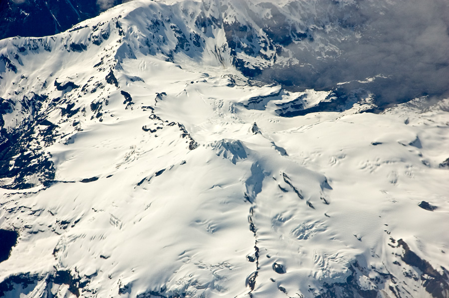
Puyuhuapi is a pyroclastic cone(s) rising to 524 meters (1,719 feet) in Chile's South America Volcanic Regions. No historical eruptions have been recorded, though the volcano is classified based on geological evidence of past activity.
Geography & Climate
Puyuhuapi is located in Chile, within the Southern Andean Volcanic Arc of the broader South America Volcanic Regions. Situated at 44.30° S, 72.53° W in the Southern Hemisphere, the volcano lies within a temperate climate zone. With a summit elevation of 524 meters above sea level, Puyuhuapi is a moderately sized peak that remains accessible to hikers and researchers for much of the year. The volcanic landform is characterized as a minor, which describes the physical shape and structure of the volcanic edifice as observed from the surface.
Geological Context
Puyuhuapi sits in a subduction zone, where one tectonic plate dives beneath another, creating intense heat and pressure that generates magma. Subduction zones are responsible for many of the world's most explosive volcanoes and deadliest eruptions. For communities in Chile near Puyuhuapi, this tectonic setting means the volcano is capable of producing powerful explosive eruptions, pyroclastic flows, and lahars that can threaten populated areas within tens of kilometers of the summit. The dominant rock type is basalt / picro-basalt, a dark, fine-grained volcanic rock that forms from rapidly cooling, low-viscosity lava. Basaltic eruptions tend to be less explosive and produce fluid lava flows that can travel long distances. While less immediately dangerous than explosive eruptions, basaltic lava flows can destroy structures and infrastructure in their path, and volcanic gases released during these eruptions can affect air quality over a wide area.
GVP Reference Summary
A chain of dominantly basaltic cinder cones erupted along two NE-SW-trending fissures at the head of Puyuhuapi fjord comprise the Volcanes de Puyuhuapi. The larger group of four cones lies on the W side of the fjord and fed lava flows that traveled SE to the sea. The second lineament formed a chain of four smaller cones between the head of the fjord and Lake Risopatrón to the N. The two fractures are related to the regional Liquiñe-Ofqui fault zone. The cinder cones are extremely well preserved, suggesting a very young age.
— Smithsonian Institution, Global Volcanism Program
0 Recorded Eruptions
No eruption records available for Puyuhuapi.
Real-Time Data
Frequently Asked Questions About Puyuhuapi
Is Puyuhuapi an active volcano?+
Puyuhuapi is classified as active based on credible evidence of past eruptions. Although its last known eruption was in prehistoric times, volcanologists consider it capable of erupting again.
How high is Puyuhuapi?+
Puyuhuapi has a summit elevation of 524 meters (1,719 feet) above sea level. At 524 meters, it is a relatively low-elevation volcano.
What type of volcano is Puyuhuapi?+
Puyuhuapi is classified as a Pyroclastic cone(s). Pyroclastic cones (or cinder cones) are small, steep-sided volcanic cones built from fragments of lava blasted into the air. They are the simplest type of volcano and often form in groups.
Where is Puyuhuapi located?+
Puyuhuapi is located in Chile, in the South America Volcanic Regions. More specifically, it lies within the Southern Andean Volcanic Arc. Its exact coordinates are -44.300° latitude, -72.530° longitude.
Is it safe to visit Puyuhuapi?+
Puyuhuapi can generally be visited, but as with any volcano, visitors should check local conditions and any advisory notices before traveling. Chile may have specific regulations for accessing volcanic areas. Guided tours are often the safest and most informative way to experience a volcano.