About Atacazo
Atacazo is a stratovolcano rising to 4,463 meters (14,643 feet) in Ecuador's South America Volcanic Regions. Its last known eruption dates to 320 BCE, in prehistoric times. The volcano has produced 4 recorded eruptions, with a maximum Volcanic Explosivity Index (VEI) of 5.
Geography & Climate
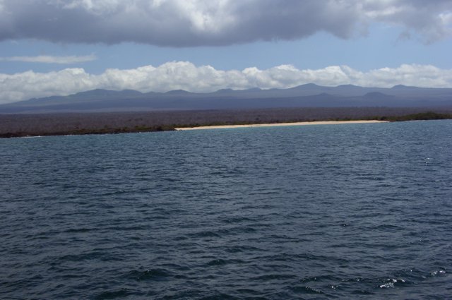
Atacazo is located in Ecuador, within the Northern Andean Volcanic Arc of the broader South America Volcanic Regions. Situated at 0.35° S, 78.62° W in the Southern Hemisphere, the volcano lies within a tropical climate zone. Standing at 4,463 meters above sea level, Atacazo towers above the alpine zone, where vegetation gives way to bare rock, snow, and ice for much of the year. The high elevation means the upper slopes experience significantly colder temperatures than surrounding lowlands. The volcanic landform is characterized as a composite, which describes the physical shape and structure of the volcanic edifice as observed from the surface.
Geological Context
Atacazo sits in a subduction zone, where one tectonic plate dives beneath another, creating intense heat and pressure that generates magma. Subduction zones are responsible for many of the world's most explosive volcanoes and deadliest eruptions. For communities in Ecuador near Atacazo, this tectonic setting means the volcano is capable of producing powerful explosive eruptions, pyroclastic flows, and lahars that can threaten populated areas within tens of kilometers of the summit. The dominant rock type is andesite / basaltic andesite, a dark, fine-grained volcanic rock that forms from rapidly cooling, low-viscosity lava. Basaltic eruptions tend to be less explosive and produce fluid lava flows that can travel long distances. While less immediately dangerous than explosive eruptions, basaltic lava flows can destroy structures and infrastructure in their path, and volcanic gases released during these eruptions can affect air quality over a wide area.
Eruption History Summary
Atacazo has 4 recorded eruptions in the geological database, spanning from 6910 BCE to 320 BCE. The most powerful recorded event was a paroxysmal eruption with devastating regional consequences in 320 BCE, reaching VEI 5 on the Volcanic Explosivity Index. Notable eruptions include 320 BCE (VEI 5), 2490 BCE (VEI 5), 3490 BCE (VEI 4). These eruptions span roughly 6,590 years of volcanic history.
Significance
With a maximum recorded VEI of 5, Atacazo has demonstrated the capacity for paroxysmal eruptions comparable to the 1980 eruption of Mount St. Helens. Eruptions of this scale can devastate areas within 20-30 kilometers and produce ash fall that disrupts aviation and agriculture across hundreds of kilometers.
GVP Reference Summary
Atacazo, located about 25 km SW of Quito, consists of a large Pleistocene andesitic stratovolcanoes truncated by a late-Pleistocene to Holocene caldera. Growth of the La Carcacha edifice was followed by construction of Atacazo, a stratovolcano with flank lava domes. The 6-km-wide caldera, which is breached to the SW, is partially filled by three dacitic Holocene lava-dome complexes. Two andesitic lava domes are also found on the SE flank. Several plinian eruptions have occurred at the Atacazo-Ninahuilca complex during the Holocene, accompanied by growth of lava domes. The latest dated eruption took place about 2300 years ago, forming the Ninahuilca Chico lava domes within the summit caldera. Dome formation was accompanied by Plinian explosive eruptions and pyroclastic flows that traveled 35 km down valleys to the west.
— Smithsonian Institution, Global Volcanism Program
4 Recorded Eruptions
| Year | VEI | Type | Area |
|---|---|---|---|
| 320 BCE | 5 | Confirmed Eruption | Ninahuilca Chico II dome |
| 2490 BCE | 5 | Confirmed Eruption | Ninahuilca Chico I dome |
| 3490 BCE | 4 | Confirmed Eruption | Arenal II dome |
| 6910 BCE | 4 | Confirmed Eruption | La Cocha II dome |
Real-Time Data
Frequently Asked Questions About Atacazo
Is Atacazo an active volcano?+
Atacazo is not currently classified as active. Its activity evidence is listed as "Eruption Dated." The last known eruption was in 320 BCE. However, no volcano is ever considered permanently extinct.
When did Atacazo last erupt?+
The most recent recorded eruption of Atacazo occurred in 320 BCE with a Volcanic Explosivity Index (VEI) of 5. The eruption was classified as a "Confirmed Eruption." Atacazo has 4 recorded eruptions in total.
How high is Atacazo?+
Atacazo has a summit elevation of 4,463 meters (14,643 feet) above sea level. At 4,463 meters, it stands taller than Mount Rainier (4,392m) and is among the world's major volcanic peaks.
What type of volcano is Atacazo?+
Atacazo is classified as a Stratovolcano. Stratovolcanoes (also called composite volcanoes) are steep, conical volcanoes built up by many layers of hardened lava, tephra, and volcanic ash. They are among the most common and dangerous types, known for explosive eruptions.
Where is Atacazo located?+
Atacazo is located in Ecuador, in the South America Volcanic Regions. More specifically, it lies within the Northern Andean Volcanic Arc. Its exact coordinates are -0.353° latitude, -78.617° longitude.
Is it safe to visit Atacazo?+
Atacazo can generally be visited, but as with any volcano, visitors should check local conditions and any advisory notices before traveling. Ecuador may have specific regulations for accessing volcanic areas. Guided tours are often the safest and most informative way to experience a volcano.